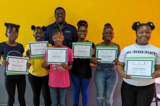
We strive to be a catalyst in the development of the Caribbean’s drone and GIS ecosystem and strengthen capacity across Jamaica and the Caribbean.

About

Support Our Hurricane Melissa Response
Donate NowWe strive to be catalyst in the development of Jamaica’s drone and GIS ecosystem and strengthen capacity locally.
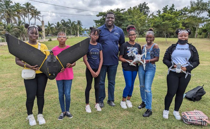
With drone and robotics technology, we help to develop and transform sectors such as disaster and environmental management, agriculture and health. And we facilitate and strengthen the local and regional robotics ecosystem with an emphasis on location driven technology and training to strengthen local knowledge and skills.
Services
We develop, implement, and manage a variety of drone-related projects focused on disaster management and environmental efforts through the use of drones and AI for social good. We also train Jamaican youth to gain access to drone and GIS skills, which can be useful in solving many of their communities' local challenges, such as natural disasters such as hurricanes, flooding, and earthquakes. All our work includes a strong focus on gender equality.
Local Capacity Building
Knowledge Exchange
Ecosystem Building & Facilitation
Sector Applications & Projects
Youth/STEM Programs
Entrepreneurship Programs
Sustainable Development Goals We Focus On
Success Stories
Read case studies from social good projects using advanced technology supported by great local and international partners.

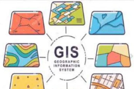
Virtual Summer Tech Camp
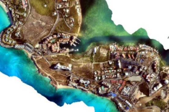
Assessing Hurricane Damage Recovery
News
Read our blog posts to learn more about trainings, process, community, and our field.

A Locally Led, Globally Supported Drone Response to Hurricane Melissa in Jamaica
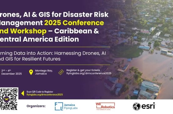
Building Resilience in the Caribbean and Central America: The Drones, AI and GIS for Disaster Risk Management Conference 2025
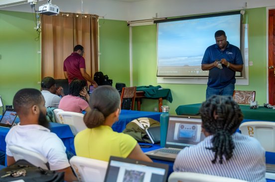
Jamaica Flying Labs: Official Training Partner for HOT’s Drone Task Manager
Team
A diverse team of experts and knowledgeable advisors with proven experience.




Partners
Collaboration and support partners.



Where to Find Us
44 Vidal Terrace
Old Harbour
St. Catherine
Jamaica W.I
