Pakistan Flying Labs at Aerothon Drone Tech Expo NUST 2025
Drones, Data and AI for STEM / Youth | January 15, 2026
The teams impressed the audience with demonstrations that truly reflected the spirit of innovation and excellence.
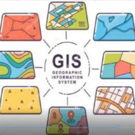
Empowering Youth on Using GIS Tools for Disaster Resilience
December 1st, 2020
Jamaica Flying Labs organized a virtual training for youth on using GIS tools for disaster resilience, teaching them to build basic maps, story maps and virtual surveys.

Discover the use case
Download

