Jamaica Flying Labs and Humanitarian OpenStreetMap Team Explore an Open Drone Community
The initiative aimed to revolutionize the way aerial data supports critical sectors like disaster management and environmental conservation in Jamaica.
May 6th, 2024
At the request of Humanitarian OpenStreetMap Team (HOT) under the Open Cities Latin America and Caribbean initiative, Jamaica Flying Labs (JFL) examined the landscape in Jamaica for an Open Drone Mapping Community. This initiative was geared at evaluating and fostering an open drone mapping community, aiming to revolutionize the way aerial data supports critical sectors like disaster management and environmental conservation.
The project involved an assessment of landscape and needs focused on understanding the potential of drone technology across Jamaica. The fundamental objective is to establish a robust community of practice that not only embraces technical training but also facilitates significant connections between drone data users and providers. This will enhance capabilities in capturing and utilizing aerial data for diverse applications, thereby supporting critical decision-making processes in Jamaica.
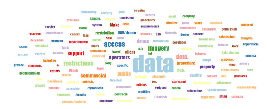
 Sentiments expressed about an open drone community
A Collaborative Approach
The approach adopted by JFL and HOT was both comprehensive and inclusive, emphasizing stakeholder engagement and extensive data collection. By conducting surveys and interviews with existing drone operators, government bodies, and private entities, the project mapped out current capabilities and identified strategic opportunities for growth and development.
Key Findings and Insights
The findings indicate a vibrant but underutilized drone community in Jamaica, with significant potential to expand its impact through formal training and increased access to technological resources. The vast majority of survey respondents showed great enthusiasm for participating in an open drone community, highlighting the existing demand and interest in this area.
The Challenges Ahead
Despite the promising outlook, it is recognized that several challenges lie ahead, including regulatory hurdles and the need for greater public awareness and education on drone technology. Addressing these issues is crucial for the successful integration of drone operations into mainstream applications and ensuring they can operate within legal and social norms.
The Roadmap for Success
To navigate these challenges, a strategic plan focused on the following is critical:
- Enhancing technical skills through targeted training programs and workshops aimed at elevating the expertise of drone operators and broadening the base of skilled professionals in Jamaica.
- Building partnerships with educational institutions, government agencies, and international organizations to create a sustainable ecosystem for drone technology.
- Working closely with regulatory bodies to shape policies and frameworks that support drone activities while ensuring public safety and privacy.
- Increasing awareness and understanding of drone technology benefits through public campaigns and demonstrations to garner broader support.
We believe that building an open and collaborative drone community on one island will set a precedent for other islands and regions to follow, potentially transforming how community-driven technology can impact development and disaster response initiatives.
Implementing an Open Drone Mapping Community holds the promise of creating a new landscape where technology and community meet to create a resilient and innovative future. The journey towards an integrated and effective drone community in Jamaica, and indeed the Caribbean, is just beginning, and it requires the collective effort of all stakeholders involved. Jamaica Flying labs encourage professionals, enthusiasts, and the general public to engage with this initiative, contributing their ideas, expertise, and support to shape the future of drone technology in the Caribbean.
Join us on this journey to pilot the Caribbean to a future where technology flies high with possibilities!
Category(s)
Recent Articles
View All »

Team Cameroon's Road to Victory at the First Global Robotics Competition 2025
