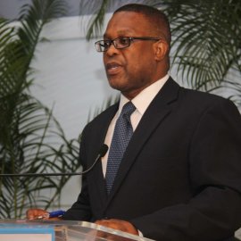
Dr Earl Edwards
Technical Advisor

Dr Earl Edwards has been involved in the geospatial information industry for more than 25 years. He is currently one of the leading Enterprise GIS Consultants in the region and a lecturer in Geospatial Information Sciences at the University of the West Indies, St Augustine, Trinidad.
Dr Edwards has a BSc with first class honours in Land Surveying from UWI St Augustine, a Masters in GIS and Remote Sensing from the University of Cambridge and a PhD in Geospatial Information Sciences from the University of Nottingham in the UK.
Dr Edwards has implemented Enterprise GIS solutions in government and private sector organizations across the Caribbean in territories such as Bahamas, Barbados, Guyana, Jamaica, St. Maarten, Tortola – BVI, Trinidad and Tobago.
He is also actively involved in research and training related to the use of Enterprise GIS systems for Geo-Enabling organizations and the use of Unmanned Aerial Systems (Drones) for augmenting the acquisition of geospatial data. To date, Dr Edwards has trained numerous persons, at university level, government and the private sector, in the use of geospatial techniques for better decision making.