Creating a society where local communities use robotics and mapping for social good
About
We aim to make Japan a more resilient society using drones and geospatial technology.

We are the project of not-for-profit Crisis Mappers Japan, using robotics, drones and mapping to solve humanitarian, environmental and natural disaster challenges. We implement projects, research, promote and exchange knowledge in this field.
Drone technology produces high-resolution aerial imaging which facilitates quick decision making. Through empowering communities to use this new technology, Japan has built resiliency against typhoons, floods, earthquakes and other types of natural disasters hitting the country every year.
Services
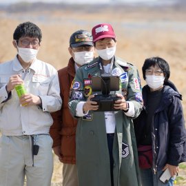
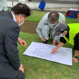
We provide crisis response to natural disasters, implement projects, perform research and promote knowledge exchange in the field of drones, mapping and robotics. We also provide general training and consulting for disaster drills to local governments and organizations.
We focus on following main activities:
Local Capacity Building
Knowledge Exchange
Ecosystem Building & Facilitation
Youth/STEM Programs
Sustainable Development Goals We Focus On
Success Stories
Read case studies from social good projects using advanced technology supported by great local and international partners.


Disaster Response Mapping

Earthquake Damage Assessment
News
Read our blog posts to learn more about trainings, process, community, and our field.

Japan Flying Labs' First Training Camp Shapes Future Operations
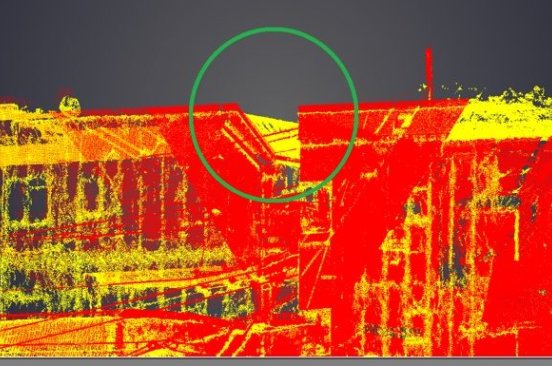
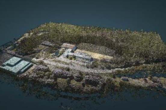
Japan Flying Labs Explores Revitalizing a Town with 3D Data through Drone and LiDAR Technology
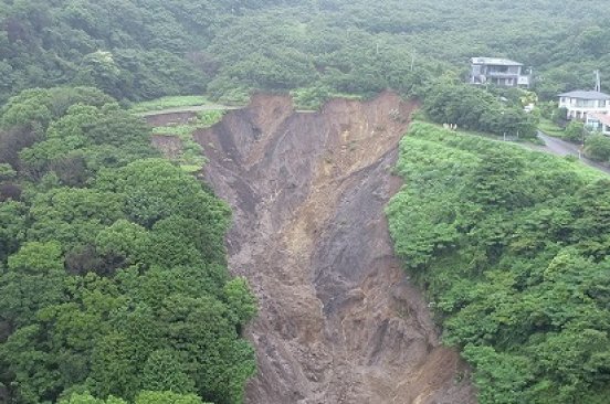
What is 'Digital Openness,' And Why Is It Important?
Team
A diverse team of experts and knowledgeable advisors with proven experience.





Partners
Collaboration and support partners.


Where to Find Us
Furuhashi Laboratory
B720 Sagamihara Campus
AoyamaGakuin University
5-10-1 Fuchinobe, Chuo-ku
Sagamihara-shi, Kanagawa
Japan
