Upskill local communities with the ability to use drone data to improve livelihoods
About
Our goal is to support and accelerate the achievements of the SDGs by developing spatial and AI skills in our community.
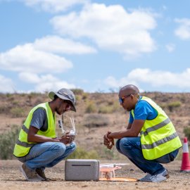
We develop local expertise and skills in geospatial data acquisition and analysis. We work with local and international organizations to mitigate the effects of climate change in hazard-prone areas. Our work also contributes to improving access to health, increasing crop yields, and environmental conservation.
You will need to give cookie consent in the Experience option to see this video. Click the cookie link at the bottom right of the page to change your preferences.
Services
We develop customized drone programs for civil societies and governments. Additionally, we collaborate with research institutions to develop innovative use-cases in health, agriculture, and marine habitats. We focus on the following main activities:
Local Capacity Building
Knowledge Exchange
Ecosystem Building & Facilitation
Entrepreneurship Programs
Youth/STEM Programs
Sector Applications & Projects
Assessments & Advisory
Sustainable Development Goals We Focus On
Success Stories
Read case studies from social good projects using advanced technology supported by great local and international partners.

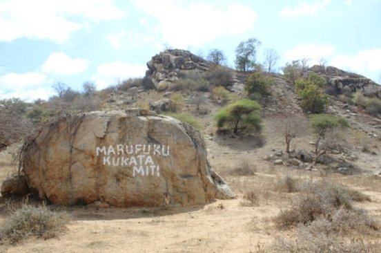
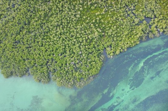
Monitoring Reforestation
Heritage Conservation
News
Read our blog posts to learn more about trainings, process, community, and our field.
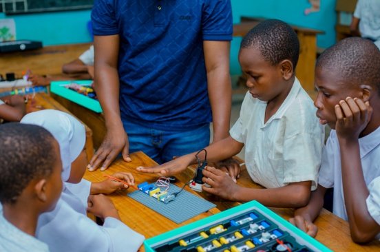
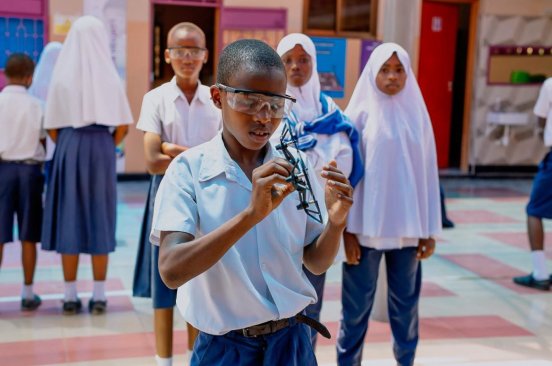
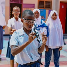
Cultivating Future Inventors: Tanzania Flying Labs and World Science Movement Unite for STEM Education
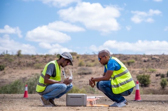
The Right Stuff: What Makes an Excellent Drone Pilot?
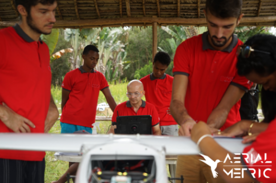
WATCH: Ending Malaria in Madagascar, Tanzania, and Beyond
Team
A diverse team of experts and knowledgeable advisors with proven experience.
Partners
Collaboration and support partners.

Where to Find Us
Hub255 Bagamoyo Road
Dar Es Salaam
Tanzania
