Pakistan Flying Labs at Aerothon Drone Tech Expo NUST 2025
Drones, Data and AI for STEM / Youth | January 15, 2026
The teams impressed the audience with demonstrations that truly reflected the spirit of innovation and excellence.
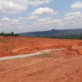
Use of Drones to Mitigate Gully Erosion
July 1st, 2021
Nigeria Flying Labs conducted drone flights to acquire very high-resolution aerial imagery as part of the efforts to reduce the effect of erosion.

Discover the use case
Download

