Pakistan Flying Labs at Aerothon Drone Tech Expo NUST 2025
Drones, Data and AI for STEM / Youth | January 15, 2026
The teams impressed the audience with demonstrations that truly reflected the spirit of innovation and excellence.
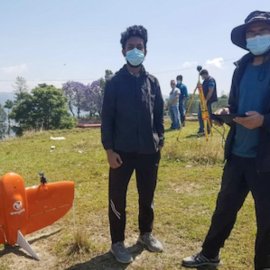
High-Resolution Aerial Mapping for Urban Municipalities During the COVID-19 Lockdown (Changunarayan and Thimi Municipality)
June 17th, 2023
Nepal Flying Labs teamed up with various stakeholders to map two municipalities and produce accurate geospatial data and updated maps for urban planning and other developments.

Discover the use case
Download

