There is Hope for Uganda with Cassava Farming!
Uganda Flying Labs' aerial survey of the Pura Organics farm reveals great opportunity in cassava farming.
November 26th, 2024
By Tinah Mutabazi, Uganda Flying Labs
I do not know if there is a day I will stop learning in the drone industry; pardon me for bragging a bit about the discoveries I make when I visit farms. Each farm has its uniqueness, which keeps you breathless. Our experience at Uganda Flying Labs is like a person peeling endless layers of onions to get to the core.
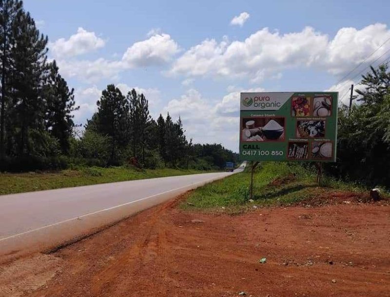
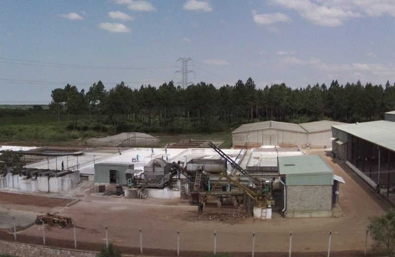
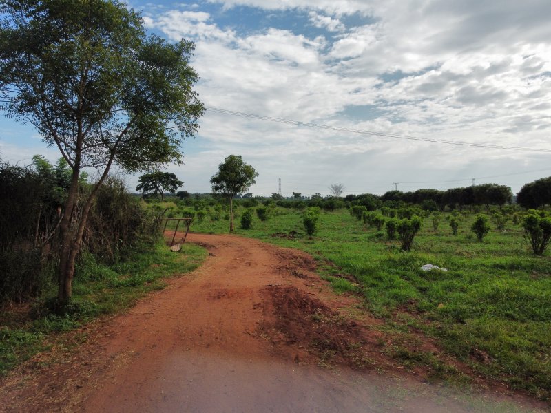
A few weeks back we were invited to map at Pura Organics Agro Tech Ltd, which has a farm in Nakasongola on the highway between Kampala and Gulu. Right from the entrance at the gate, seen below, you see a hive of activity with a 24-hour factory for cassava starch production for an extensive market, ranging from carton manufacturers to the textile industry.
Cassava is a perennial woody shrub with an edible root, which grows in the tropical and subtropical areas of the world. Cassava originated from tropical America and was first introduced into Africa in the Congo basin by the Portuguese around 1558. Today, cassava supports the livelihoods of over 300 million Africans.
Cassava is recognized as a main crop for poverty alleviation—increasing food and nutrition security—for animal feed manufacturing, and for bio-fuel ethanol industries as well as alcohol. Cassava also has a huge potential to reduce the import bill on wheat, modified starch, liquid glucose, and others.
Pura Organics have tasked themselves to grow cassava in huge quantities to increase the by-products for industrialists, ultimately spinning a good circulation of cash flow.
Our objective was to support the Pura Organics team land use cover of approximately 5km² by performing drone flights with an RGB camera for four days.
There was a medley of weather temperaments that would at times prevent us from maintaining a continuous workflow. On day one the sunlight was beautiful, enabling us to produce spectacular images. The second day, our smiles disappeared because the weather was gloomy, implying a less than seamless output. Well, it is a fact that in aerial survey, perfectionism takes one’s energy and ego because of many unpredictable conditions. All the same, we hinge around the narrative to be solution-oriented.
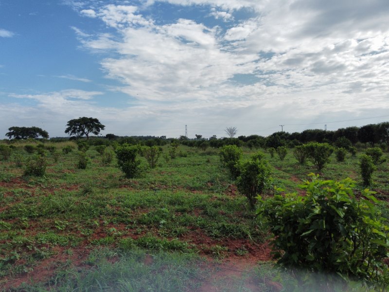
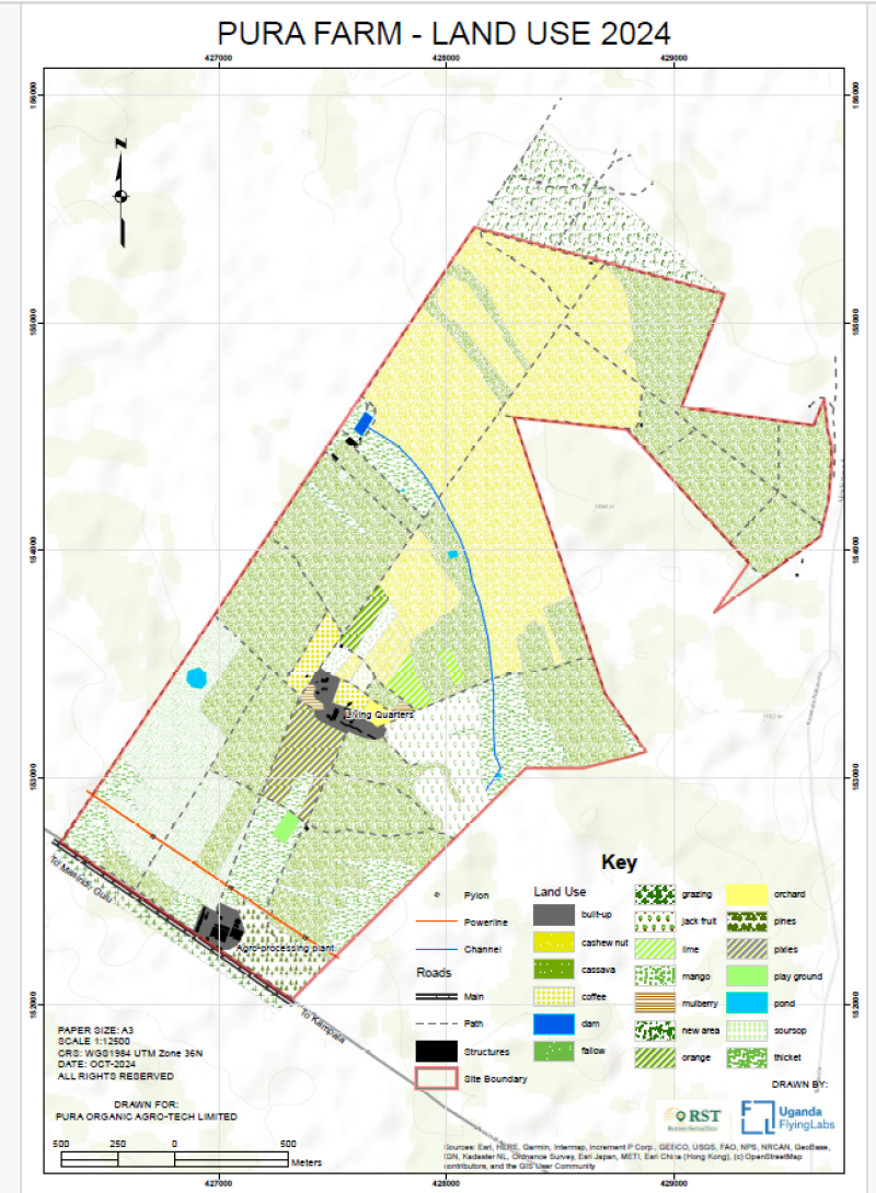
Our flights were not a scene of uniform vegetation. We got to see a variety of crops that complement cassava farming, ranging from cashew nuts, oranges, mangoes, guavas, pixies, pine, mulberry, coffee, and animal husbandry, to name a few. The farm does not hold only the crops and factory; they have several dams and a biogas plant that generates electricity from cassava residue as a back-up source of energy.
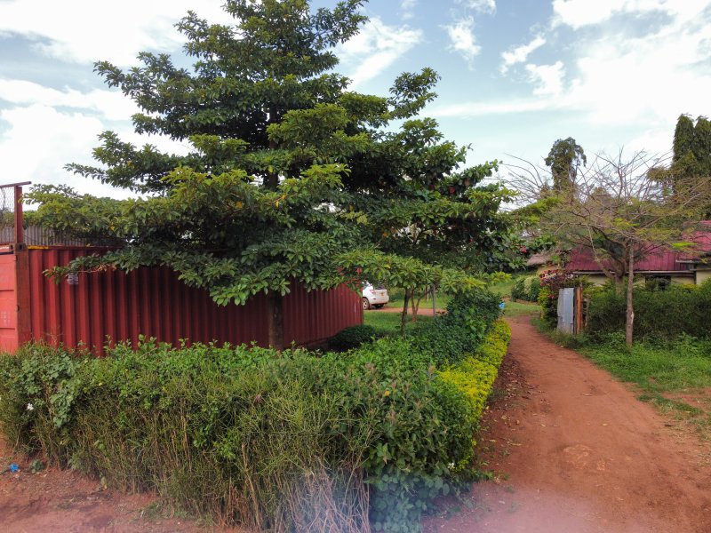
The drive through the farm with the manager gave a better picture of the remote parts of the farm, fully equipped with guest houses, workers' homes, a fuel station, a warehouse, ponds, and a channel that leads to a pump house. There was evidence of dedication as I observed the magnitude of cassava starch production contributed from different cassava plantations.
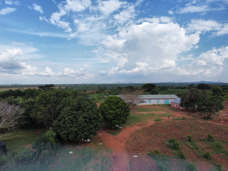
The market demand still remains unsaturated with this amazing work. The fruits were unique—I had not seen mulberries for the longest time.

Getting down to business, the data processing with PIX4Dmatic was seamless because the dataset had over 14,000 images in 5 blocks and calibrated 99.59%. In past experiences, we used PIX4Dmapper, which is slower, especially if the images go beyond the 5000 mark.
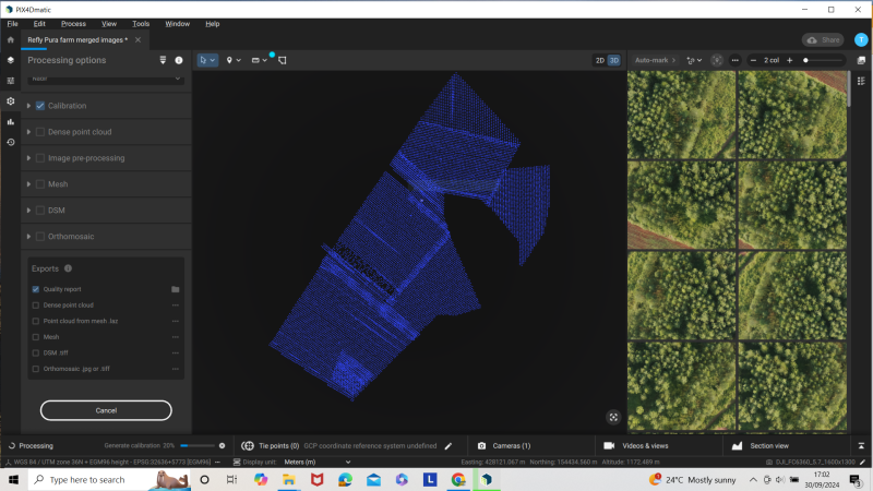
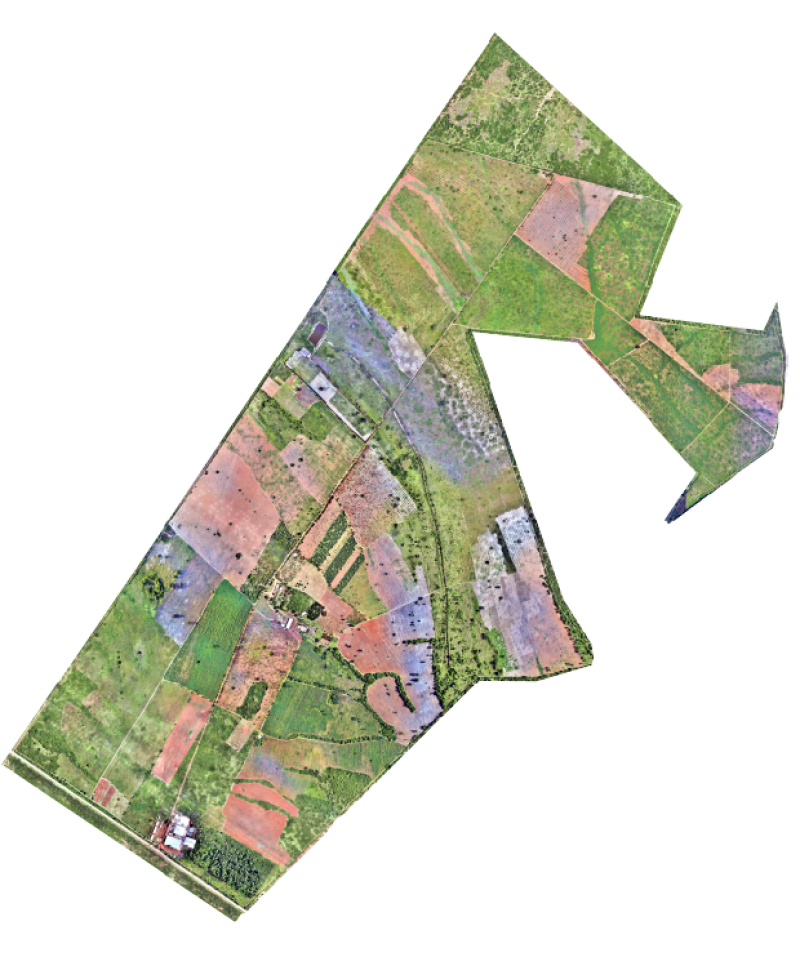
The stitching took us a few days to process into an orthomosaic, then the production team clipped the borders to define the shape of the polygon for digitizing. The purpose of the map conversion from raster to vector was to minimise the clutter that comes with imagery. This enables the users to clearly define the features and display the land use layout in a comprehensible way. Vector maps help every viewer catch someone’s drift.
All in all, Uganda Flying Labs counts it a successful mission!

Category(s)
Recent Articles
View All »

Team Cameroon's Road to Victory at the First Global Robotics Competition 2025

