
Mauritania Flying Labs Joins the Network
Flying Labs Network | July 20, 2026
The establishment of Mauritania Flying Labs creates a platform for long-term innovation, responsible technology use, and sustainable development impact.
Tinah Mutabazi discusses what needs to be done to accelerate the acceptance of drones and robotics as tools for solving social problems in the Global South.
July 25th, 2022
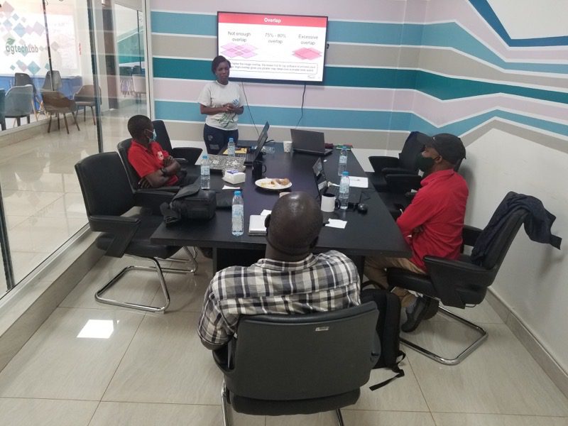
Our latest installment of the "Local Expertise, Global Community" series features conversations between Uganda Flying Labs and Mfon Udechukuw, one of WeRobotics' Community Coordinator. Tinah explores the history of their membership within the Network, growth, challenges, and what needs to be done to accelerate the acceptance of drones and robotics as tools for solving social problems in the Global South.
The interview below has been edited for clarity and length.
I am Tinah Mutabazi; we have been part of the Flying Network since 2019.
I saw great potential in working with robots to make turnaround transformations for the social challenges we face in Uganda due to climatic change. I also believe there is exponential growth in the space of GIS when one uses complementary tools such as drones.
I attribute our growth to keeping an eye on the ball despite many distractions and knowing our focus. Planning for permissions takes a lot of time as relevant government ministries, and security agencies must be notified and, in turn, granted flight permission. Hence, early execution of the permission-seeking process is always a priority in our projects.
Stakeholder engagement: The success of any project greatly depends on bringing on board the necessary stakeholders so that they have a complete understanding of the benefits to be gained. Uganda Flying Labs always ensure that stakeholders are on the same page, especially regarding expectations and, in some instances, limitations of the solutions provided.
We also place a strong emphasis on consent. Our drones only fly in areas where flight authorization has been received. Permission is sought by explaining the aim of the project and the benefits that could be realized by the person/entity concerned. In effect, strict adherence is followed in places where permission has been granted.
One of the challenges we have faced is the slow permissions process: This has been addressed by devising measures to prepare all the requirements for permissions requests as early as possible at the commencement of any project.
Laissez-faire stakeholders (not very assistive): This is especially concerning permission requests for flights and engagement of other stakeholders. Sometimes the identified stakeholders are unwilling to put in a considerable effort in situations where it is pertinent, such as drafting letters, Memorandums of Understanding, and sometimes even attending meetings and contacting local leaders. Usually, we use reminders through email or calls to find out if any progress has been made on their part and to prompt them to commit to specific requirements. In some extreme cases, Uganda Flying Labs has exercised flexibility by identifying other stakeholders to engage.
Perceived risk of using drones. Drones are still met with skepticism about the risk of violating security and privacy regulations and public resentment. This appears to be too much risk for some stakeholders despite the benefits. Uganda Flying Labs team always reassures the stakeholders that data will only be captured in specific and approved areas of interest and upon receiving consent from the concerned people in charge of those areas. We have also given assurances about the strict adherence to the regulations spelled out for the use of drones for mapping projects in the country and the protocol for legitimate permission acquisition.
Uganda Flying Labs members have worked with farmers to improve their ability to monitor the health of the crops on their farms using drones with multispectral cameras. Through our work in the agricultural space, many people have improved their ability to deliver valuable and timely information. For example, the generation of high-resolution imagery on a farm in one of our projects paved the way for Advanced Artificial Intelligence (Deep Learning) Techniques, enabling automatic identification of specific crops on the farm and conducting thorough crop analysis.
We have also worked with urban planning authorities, and they are now better positioned to plan for their towns, especially regarding the sprawl of built-up areas, using up-to-date high-resolution orthophotos.
Raising awareness in the young generations of the opportunities that the drone sector provides: Drones have the potential to be of great importance in promoting sustainable development in Uganda; many more people will need the competency to use drones responsibly. Uganda Flying Labs has therefore taken on the mantle of bringing up potential drone operators and drone data users by getting them interested early so that they know it is not a sector that is off-limits to them.
Awareness campaigns on various media platforms: This includes television shows, radio programs, and social media, where drone enthusiasts can discuss the benefits that accrue from the use of drones in various fields. This approach will increase the level of awareness and participation in the industry for people that are developing their skills and are exploring career options.
Grassroots campaigns: Technology is constantly evolving, and it is pertinent that the young generation is introduced to the usage of robotics and drone technology and the benefits. This would increase the chances of some of them considering becoming professionals in the drone industry or even using drone data in their workflows.
Capturing the interest of government institutions, nonprofit organizations, and private entities: This could be achieved by submitting partnerships proposals to streamline workflows for efficient value delivery. Once these entities realize they could be in a better position to achieve their objectives with drone technology, they will be easily enticed to join the industry.
To take advantage of the microgrants: The offer of grants by WeRobotics and organizations is a double-pronged tool. First, it promotes the development of innovative ideas and solutions for the public's good. It also provides a healthy competitive environment for the best solutions to be realized.
Exercising a high level of professionalism: To promote the use of drones, ethically good conduct and integrity are paramount. In Uganda, the operation of drones attracts serious security concerns from the public, especially the security agency in the country. Therefore, unceasing efforts to demonstrate that local experts can use drones responsibly within the existing legal framework go a long way in promoting the adoption of this technology by many others.
Fast monitoring and update capabilities in various fields: This is by far the most critical aspect of the usage of drones as it facilitates quick, cost-effective, comprehensive information gathering and timely and informed decision making. This is supplemented with the developments in precision technology such as Real Time Kinematic and Post Processing Kinematic that enable centimetre level accuracies, hence, data being suitable for applications in engineering and agriculture.
Drones are good alternatives for other data sources with similar applications: In the context of streamlining existing workflows in the various fields of application, high-resolution multispectral images obtained with drones are a better alternative to on-ground monitoring. For example, farmers and agricultural experts can quickly assess crop conditions in a relatively short time. In addition, 3D Point Clouds derived from drone mapping exercises provide a reliable and efficient alternative to on-ground surveys on engineering sites concerning constructions, earthworks, and deformation monitoring.
High level of detail analysis: With the use of drones, information with a high level of detail is available to decision-makers, which increases the chance of achieving the objectives. This again lends itself as a better alternative to physical on-ground inspections where some essential details could be missed out, and a high level of expertise is required to identify the information to pick.
The Flying Labs Network has a wealth of knowledge for local experts interested in working in the drone for good space. Take advantage of the opportunity by joining the Network and learning from like-minded professionals across three continents in over 30 countries.

