Pakistan Flying Labs at Aerothon Drone Tech Expo NUST 2025
Drones, Data and AI for STEM / Youth | January 15, 2026
The teams impressed the audience with demonstrations that truly reflected the spirit of innovation and excellence.
The project was dedicated to the farm owners' needs hence the data is solely for their consumption.
October 29th, 2024
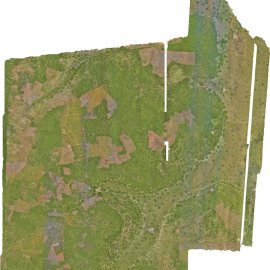
This project involved conducting aerial surveys using drones to capture data for clear alignment for development and decision making in farm management.

Discover the Use Case
Download


