Drone Mapping Is Transforming the Fish Farming Industry in Lake Victoria
Uganda Flying Labs demonstrates the potential use of drone technology for mapping and water quality assessment of fish cage sites.
October 13th, 2024
By Tinah Mutabazi, Uganda Flying Labs
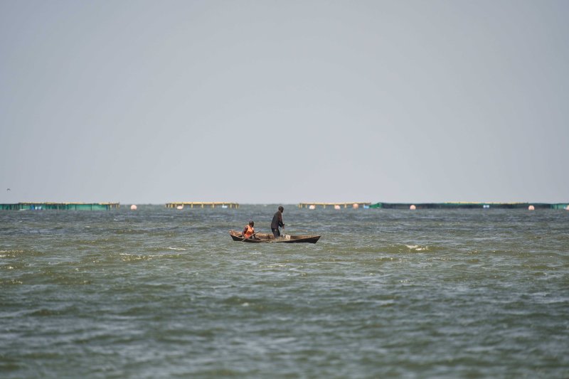
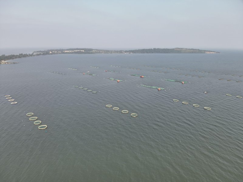
Until recently, I had not been exposed to fish farming (aquaculture) on the lake. I was accustomed to traditional fisheries, where the fishermen put a rod in the water or use nets from their boats, scooping fish out. The definition of fish farming or aquaculture I understood was ponds in the ground. However that has been superseded by fish cages, which I recently flew over during a drone mission. Constructed in the deep waters of Lake Victoria, these cages are more productive.
In partnership with The Nature Conservancy (TNC), Uganda Flying Labs—a drone, mapping, and data analytics hub—had the opportunity to support the TRUEFISH project through the demonstration of drones for mapping and water quality monitoring. The TRUEFISH project is a multi-year European Union funded project in partnership with the Lake Victoria Fisheries Organization (LVFO) in collaboration with Landell Mills, the Food and Agriculture Organization (FAO) of the United Nations (UN), and WorldFish, with the following goals:
- Remove impediments to growth faced by investors to ensure a more rapid transition to a more efficient and sustainable sector.
- Address challenges and threats that could undermine the sustainability of aquaculture development or could negatively impact the environment, food security, or livelihoods.
- Promote harmonised aquaculture development in the East African region through shared experiences, examples, and lesson learning.
All five countries within the Lake Victoria basin—Burundi, Rwanda, Kenya, Tanzania and Uganda—are involved in the project. Uganda, which depends on the lake for 60% of its fish, hosted a workshop among the five countries, which included a presentation on the potential use of drone technology for mapping and assessing water quality of fish cage sites. This innovative approach marks a potential advancement in the fish farming sector, offering a promising solution to streamline operations and reduce costs. We conducted both a trial of water quality sampling and mapping at a commercial aquaculture operation outside of Entebbe, Uganda.
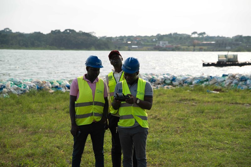
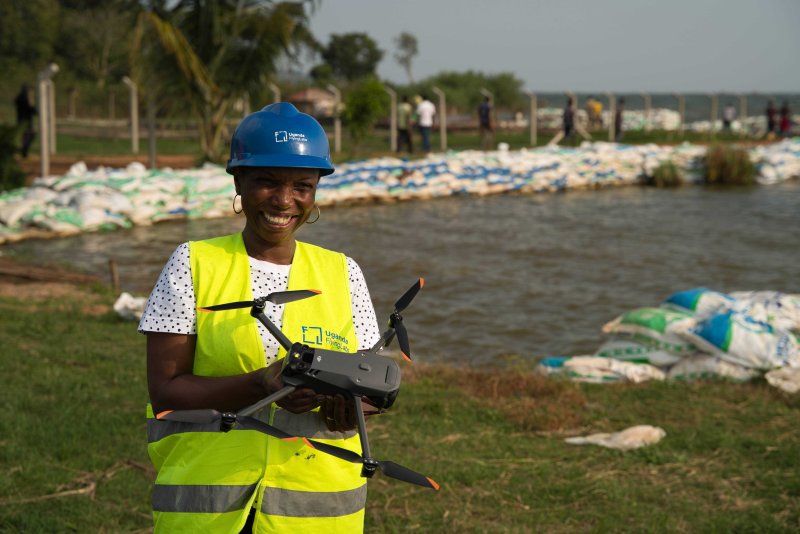
Utilising a DJI Phantom 4, we demonstrated the use of new technologies to collect a water sample to be measured for water quality parameters. This can help the farmer to streamline decisions, including whether the water meets the optimum standard for fingerlings (young fish). It was such an experience to witness a drone payload with a water bottle attached collecting water out of the nursery ponds instead of the time-consuming manual methods.
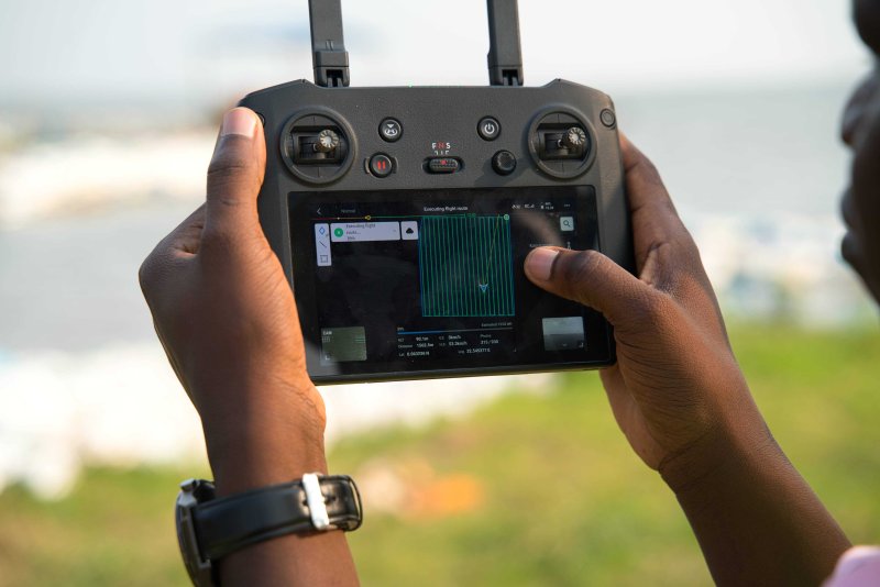
Our task to map the cages in Lake Victoria was executed with a DJI Mavic 3T drone, which captures sharp resolution images of the area of interest (AOI). Through this process, UFL learned that if the flights were done at a low altitude, the tides and winds would affect the flight stability, consequently reducing the image quality. Additionally, the time of day had an impact on the images. We decided to fly at 4 pm because the sun was not directly reflecting on the water and the water was calmer, allowing us to capture a clearer image. The images collected during the mapping mission were processed and stitched together with DroneDeploy software for the participants to see the number, dimension, location, interval spacing, shape, and capacity of cages on the lake.
In the future, health and environmental management for fish could also be supported using drones. For instance, fish health could be checked by drones regularly by flying over cages and capturing images and videos to monitor behaviour, mortality, or the presence of parasites. Infected fish can be treated or removed from the cage, isolated, recorded, and reported to relevant authorities based on farm management plans. Drones can be used more frequently to measure water quality parameters in the cage area, especially dissolved oxygen, temperature, pH, nitrogen, and turbidity. In the future, drones could be used to even feed fish, providing a more sustainable and less labour-intensive method to grow fish and ultimately provide a healthy source of fish to the people living around the lake.
As part of the four-day workshop in Entebbe, 64 members representing nominated members of the LVFO Zoning Working Group, TRUEFISH National Focal Points, concerned national and regional authorities, and national aquaculture stakeholders and experts converged for 4th Lake Victoria Fisheries Organization Aquaculture Zoning Working Group Meeting. This included a demonstration of the use of drones for fish cage mapping and water quality monitoring. Although the flight permit was delayed, it did not dampen the participants’ spirits. We presented on data analysis of fish cage mapping and prepared notes and tutorials for them to practise. All materials were made available to the attendees, and we created the following video highlighting the use of drones in aquaculture monitoring.
You will need to give cookie consent in the Experience option to see this video. Click the cookie link at the bottom right of the page to change your preferences.
The success of this workshop highlights the many potential benefits of new technologies for aquaculture development in Lake Victoria. Even more importantly, this workshop demonstrated the potential of emerging drone technologies in fish farming. Many thanks to TNC, FAO, and LVFO for their support and great wealth of knowledge in aquaculture.
Photographs courtesy of The Nature Conservancy
Category(s)
Recent Articles
View All »

Wildfire Assessment and Web Application in Sao Paulo

