Pakistan Flying Labs at Aerothon Drone Tech Expo NUST 2025
Drones, Data and AI for STEM / Youth | January 15, 2026
The teams impressed the audience with demonstrations that truly reflected the spirit of innovation and excellence.
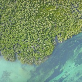
A drone image is worth a thousand words: How drones are contributing to heritage conservation in Tanzania
August 19th, 2022
Read this storymap to learn about how Tanzania Flying Labs used drones to depict insightful aerial perspectives of heritage sites in ways that allow us not only to view how ancient civilizations lived but also give archaeologists clues on why some of them ceased to exist.

Discover the Story Map
Click here

