Zambia Flying Labs Teaches Students About Drones and Aviation
The training aimed to build better awareness of drone technology among the students and develop drone data acquisition and analytical skills.
August 3rd, 2021
Students are encouraged to soar high in their academic and, later, their careers. However, Zambia Flying Labs put its own twist on this by encouraging them to fly more literally by giving several students training in drone technology. Zambia Flying Labs provides training because it exposes participants to new technology, information, and skills.

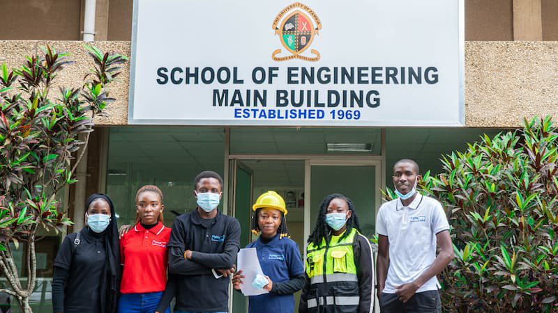
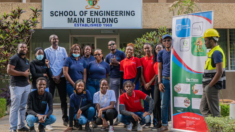
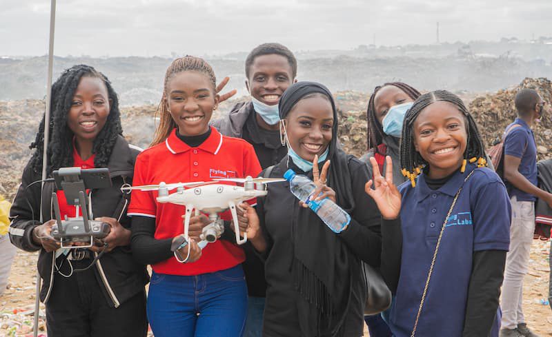
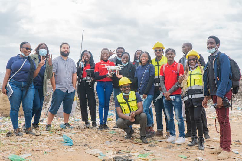
The University of Zambia and the Copperbelt University students participated in a project auditing the Chunga-Dump site, a sector-specific training for professionals (especially using drones for stockpile audits). For five days, fourteen students trained both online and in-person in Lusaka under YouthRobotics. The training aimed to build better awareness of drone technology—and the relevant rules and regulations—among the students and develop drone data acquisition and analytical skills. With these skills, we can train and empower local youth to better compete in the future workforce. The training primarily focused on three Sustainable Development Goals (SDGs): SDG 4, Quality Education; SDG 9, Industry, Innovation, and Infrastructure; and SDG 11, Sustainable Cities and Communities.

For the hands-on training, we used a Phantom 4 RTK, the most compact and accurate drone at low altitudes for surveying and mapping purposes, facilitated by Chitula Lukonde, the project manager, and two of the best drone mapping programs, DroneDeploy and PIX4D, with Global Mapper, to run the analysis and processing.

All the participants got to be involved in the practical training during the physical session. Though COVID-19 restrictions allowed us only a single in-person training, we still covered:
- How to survey the site
- How to plan for a drone flight
- Drone market-leading apps
- Processing Drone Data
- Best Drone to Use
- Output and best use (e.g., orthomosaic, stockpile, volumetrics, facade inspection, topographical survey, etc.)
The students were exposed to knowledge and skills that could inspire new solutions to local and global challenges and presented with the opportunity to meet stakeholders for the project from the industry. They were also invited to apply for undergraduate-related, field research topics and to become part of the Zambia Flying Labs Student Chapter working group after completing the training.

At the training's conclusion, the students had an increased curiosity and enthusiasm for drones and expressed an eagerness to become permanent members of Zambia Flying Labs. Furthermore, with their newly gained proficiency with drone technology, the students can help train their peers and continue the knowledge sharing through their experience. In the future, we will offer additional training for other drone applications.
Category(s)
Recent Articles
View All »

Team Cameroon's Road to Victory at the First Global Robotics Competition 2025
