Pakistan Flying Labs at Aerothon Drone Tech Expo NUST 2025
Drones, Data and AI for STEM / Youth | January 15, 2026
The teams impressed the audience with demonstrations that truly reflected the spirit of innovation and excellence.
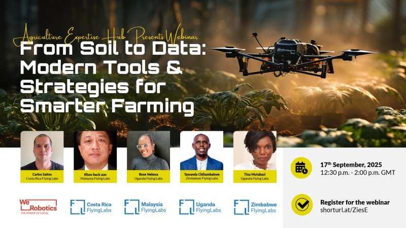
Flying Labs showcase how drone technology and geospatial data are transforming agriculture across different contexts.
September 24th, 2025
By Costa Rica, Malaysia, Uganda, and Zimbabwe Flying Labs

In this webinar, Costa Rica, Malaysia, Uganda, and Zimbabwe Flying Labs showcase how drone technology and geospatial data are transforming agriculture across our different contexts. Drawing on experiences from cross-country projects, we explore practical applications, innovative tools, and business opportunities in agricultural drone use, including:
You will need to give cookie consent in the Experience option to see this video. Click the cookie link at the bottom right of the page to change your preferences.


