Uganda Flying Labs Maps the Nakivale Refugee Settlement for Infrastructural Planning and Development
The objective was to enable planning and infrastructural expansions of the school and reception center within the refugee settlement.
April 8th, 2020
By Joshua Ogwal, Uganda Flying Labs

In Uganda, Uganda Flying Labs completed a mission with ALIGHT, formerly the American Refugee Committee (ARC), in one of the most significant refugee settlements in the country, which is concealed among rolling hills, fertile fields, a lake, and many streams. Over three days in February, the team saw life through the eyes of the children, men, and women in the refugee settlement they now call home. Coming from more than five different countries in Africa, they settled here in small brick or mud dotted houses a few years ago. However, due to the uneven distribution of dwellings within the settlement, infrastructural developments and planning have become a big issue.
The overall objective of this mapping exercise was for Uganda Flying Labs to map the existing settlement to enable planning and infrastructural expansions of the school and reception center within the refugee settlement.
 Figure 2: Mapping Kabazana Reception Centre
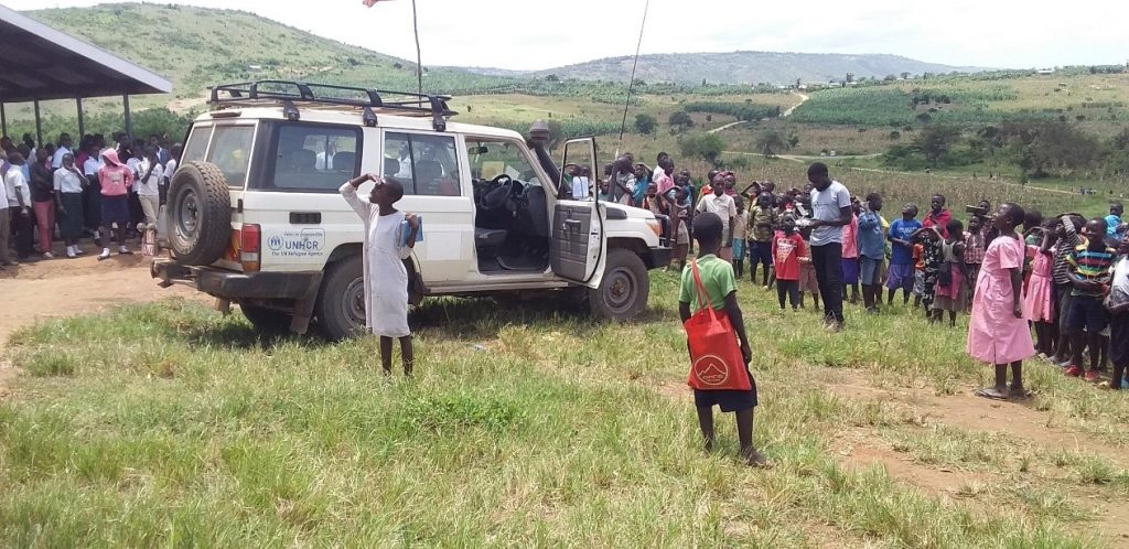
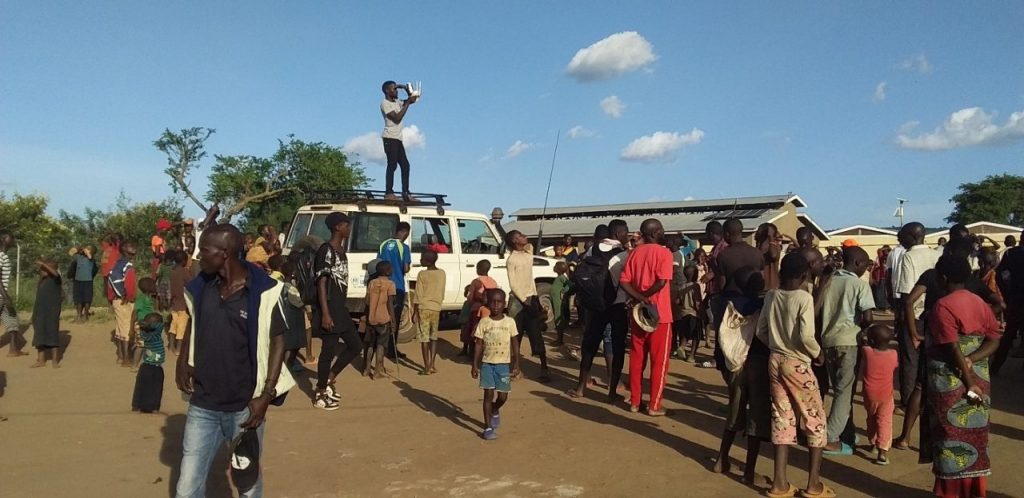
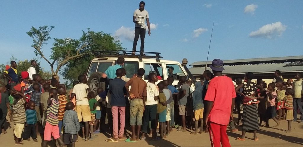
During the three days, Uganda Flying Labs launched several autonomous flights at each settlement cluster, attracting hundreds of children and elders. The flights were to aid in acquiring images that would be processed into geoproducts that would help in the planning phase. A total of 12 different settlement clusters were mapped. This was an enjoyable experience.
Uganda Flying Labs worked with and was supervised by ALIGHT, who provided direction and input throughout the process.
 Figure 5 Uganda Flying Labs updating ARC staff on the progress of work at Kabazana Reception Centre
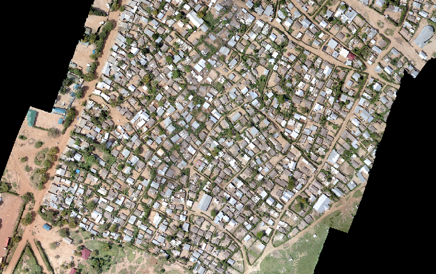
The mapping yielded products that would best be used for planning. ALIGHT’s core is to build a meaningful life for and with the displaced. The products produced included DSM, orthomosaics of the clusters, contour lines, and three-dimensional models of the clusters, which can be best used in improving the infrastructural arrangements of the refugee settlements and, in the end, achieving the core purpose of building a meaningful life for the refugees.
 Figure 6: Orthomosaic of one of the areas surveyed
This project, like many Uganda Flying Labs has done, highlighted the critical importance of incorporating modern technologies in the developmental plans of any project. On the other side, the results from this project were instrumental for the implementation of the infrastructural development projects in the settlement by not only ALIGHT but also other agencies that support the refugee community. The project made it possible for the refugee community to understand and appreciate the drone technology and infrastructural planning.
Category(s)
Recent Articles
View All »

Team Cameroon's Road to Victory at the First Global Robotics Competition 2025
