Reaching the Unreached: A Doctor’s Call for Equity
Drones, Data and AI for Health | December 10, 2025
Watch the documentary now to witness Philippines Flying Labs' work using drones to fight tuberculosis in remote communities.
Training on Drone Applications in Agriculture, Forestry, and Urban Planning
December 1st, 2020
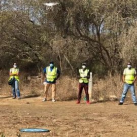
Senegal Flying Labs trained professionals with various backgrounds on how to collect, manage and analyse data collected with drones to use in agriculture, forestry and urban planning sectors.

Discover the use case
Download

