Wildfire Assessment and Web Application in Sao Paulo
Drones, Data and AI for Climate Action | November 26, 2025
Enabling rapid and accurate wildfire assessment through satellite imagery
Monitoring the Peruvian Jungle for Illegal Logging and Forest Reforestation Planning
April 1st, 2023
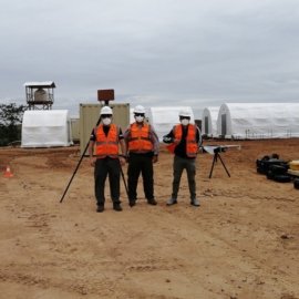
This use case shares how Peru Flying Labs used a fixed-wing drone to map 8500 hectares of land affected by illegal logging and deforestation in the Peruvian jungle for the reforestation planning.

Discover the use case
Download

