Pakistan Flying Labs at Aerothon Drone Tech Expo NUST 2025
Drones, Data and AI for STEM / Youth | January 15, 2026
The teams impressed the audience with demonstrations that truly reflected the spirit of innovation and excellence.
Mapping Research Centres as Part of the COVID-19 Response
November 1st, 2020
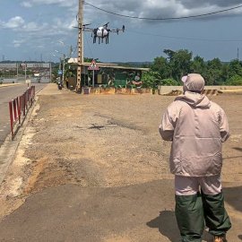
This use case discusses how Ghana Flying Labs contributed to the government's response against the Covid-19 pandemic by mapping out the drone delivery route for rapid testing.

Discover the use case
Download

