Reaching the Unreached: A Doctor’s Call for Equity
Drones, Data and AI for Health | December 10, 2025
Watch the documentary now to witness Philippines Flying Labs' work using drones to fight tuberculosis in remote communities.
Aerial Mapping of the 2019 Central Luzon Earthquake
August 1st, 2020
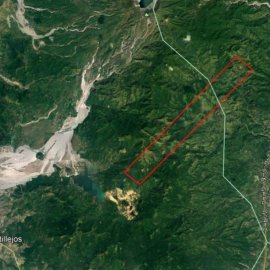
This use case features a drone project carried out by Philippines Flying Labs (32 sqm) to map the fault line area of the 2019 Central Luzon earthquake.

Discover the use case
Download

