Jamaica Flying Labs hosts its first "Fly Like A Girl" Drone Camp
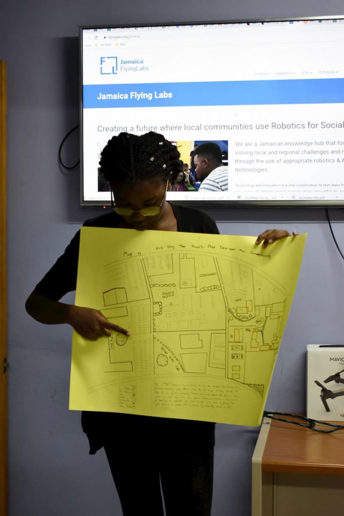
The camp was structured to introduce and teach the students about Flying Labs and other organizations involved in drones, robotics, and GIS.
March 19th, 2020
By Josiah Burkett, Jamaica Flying Labs
Training is one of Flying Labs' primary goals as we seek to empower communities with the skills necessary to make their lives much more comfortable and efficient. The training we provide imparts the necessary skills to solve various challenges.
This training occurred over five days in August 2019, with female students ages 12-16 participating at the Marlie Technology Park, Old Harbour, Jamaica. Assistance was also provided by the Marlie Technology Park as well as GeoTechVision.
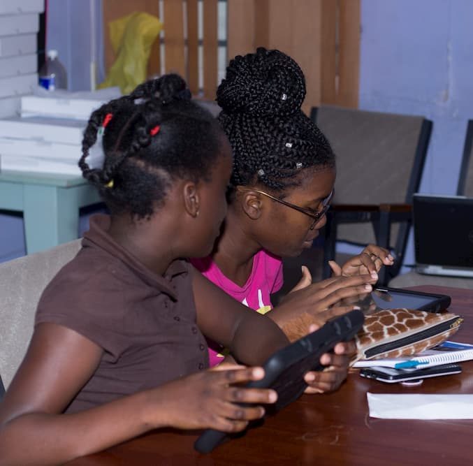
The camp was structured to introduce and teach the students about Flying Labs and other organizations involved in drones, robotics, and GIS. The activities the students participated in focused on how we use drones to solve modern-day issues for clients, including topics like using drones for humanitarian purposes, wildlife conservation, mapping, and aerial surveying. We also taught the students about coding using applications on Geo Tablets developed by our partners GeoTechVision, which was recently developed. We used a DJI Mavic Pro to demonstrate how a professional drone operates and provided the students with parrot mambo mini-drones to practice how to fly. The tablets were used for coding, and applications such as Tello EDU and Drone Simulator allowed the students to learn how to fly and code.

Training of this nature is a benefit to all stakeholders involved, as education in robotics is a critical part of the digital transformation that is taking place today. We see where many organizations need skilled labor that can use technology to make their processes even more efficient. Data collection is the foundation for any organization, and training persons to use technology to collect and interpret data goes a long way in creating a tech-savvy society. Also, with the increasing population becoming a significant issue in today's society, many cities are becoming SMART by involving data collection and technology in their day to day functions. A vital necessity in achieving a smart city is the acceptance by users who understand the technology and can use it beneficially. Starting to train the younger population, we see as a very practical approach as they are the future and the recipients of all these technological advances.

A significant takeaway from this training was the participants' curiosity and zeal, which indicated that we must continue this program with a wider audience. One significant challenge in our execution, however, was marketing the program. Due to the date of the training, our target audience (high school students) had left for summer break from their various schools, which we intended to use to advertise the camp to the students in an efficient manner. Going forward, we will work on this challenge by trying different solutions, including advertising at an earlier date, as well as collecting contact information of potential students and young professionals at conferences and other networking activities.
We want to say thanks to all supporting partners, including Marlie Technology Park, GeoTechVision, WeRobotics, and Flying Labs Network, for their assistance in any way of making this project a success. Do stay tuned for more projects like this as well as updates!

WeRobotics and She Maps will continue supporting Flying Labs with their youth engagement and training activities incentives over the coming months. We would like to thank participants from Jamaica, Kenya, Panama, Philippines, Papua New Guinea, Senegal, South Pacific, Tanzania, and Uganda Flying Labs as well as the Australian Department of Foreign Affairs and Trade’s (DFAT) innovationXchange (iXc) for their financial support.
Category(s)
Recent Articles
View All »

Team Cameroon's Road to Victory at the First Global Robotics Competition 2025
