By Sofie Terp Clausen, Master of Disaster Management, University of Copenhagen
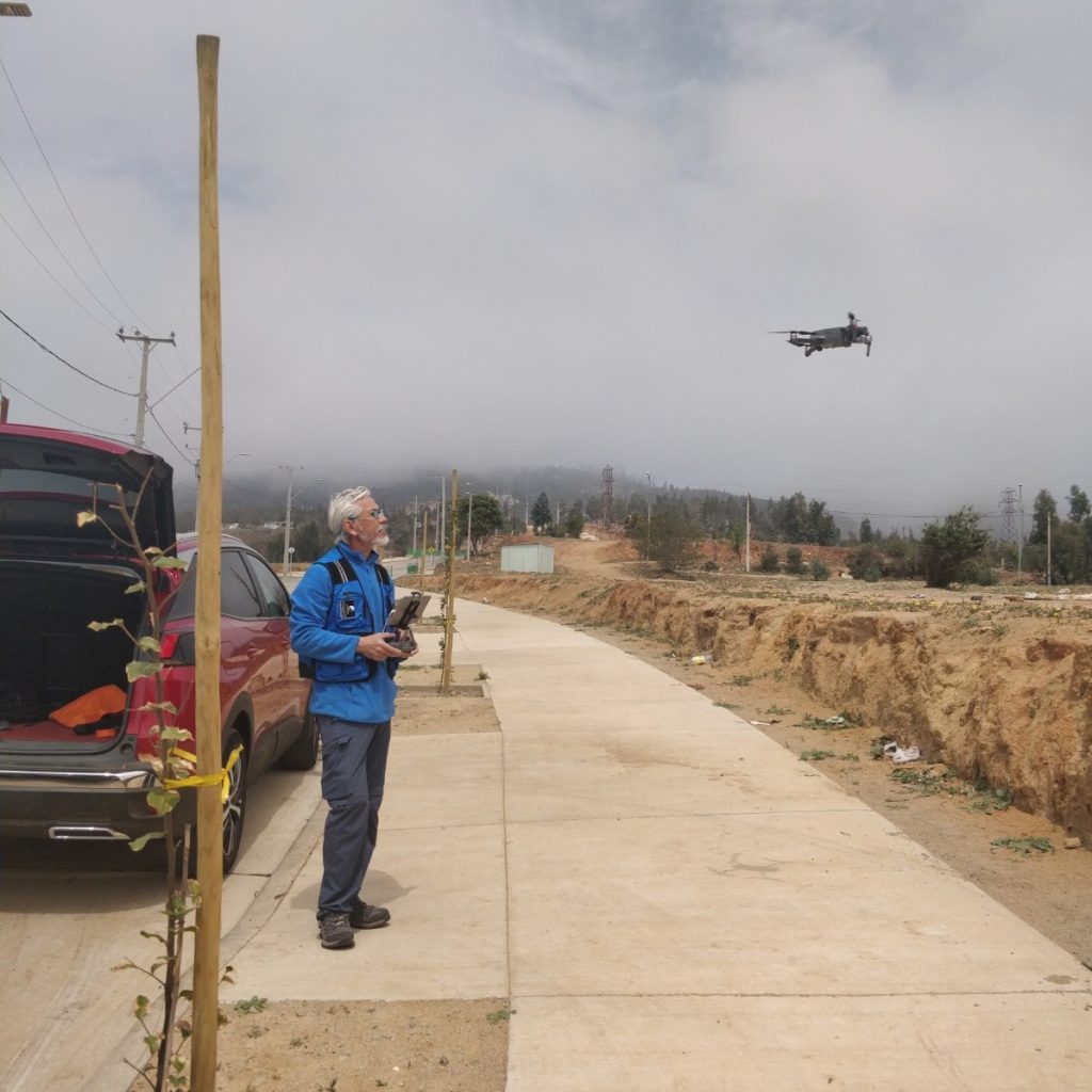
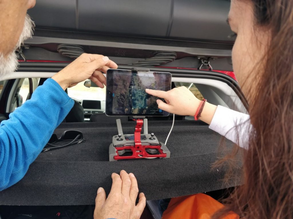
Combining the need for local capacity development and ownership in disaster risk management (DRM), with the opportunities presented by more accessible drone technology, a study was carried out through the Master of Disaster Management program at University of Copenhagen, Denmark, to understand and assess the barriers for the implementation of humanitarian drones into local disaster preparedness. While drone technology is becoming more easily accessible as prices drop and the technology becomes more user-friendly, drones are often utilized only in the event of a disaster, as international organizations or private actors manage them. By building national and local capacity and integrating drones into DRM processes and protocols, the use of drones can be tailored to the risks and needs in the local context, and they can be used in reducing risks and increasing preparedness. Through a field study in Chile to identify key benefits and challenges of drone implementation from lessons learned, combined with experiences from other actors and countries, the study identified a potential for drones in disaster preparedness, as well as current barriers for drone implementation, which should be considered and addressed for drones to effectively be implemented into local disaster preparedness efforts.
The potential and benefits of drones for disaster preparedness
- Drones are versatile tools that can be used in all phases of DRM and for many types of hazards, as they can be outfitted with different cameras and sensors depending on the specific needs.
- Updating maps and providing baseline data. With the quick deployment, low costs, and interchangeable sensors, drones offer an alternative or supplement to traditional satellite and manned aircraft imagery, in particular for smaller scale and local disaster preparedness.
- Resource management and planning in emergencies. This includes improving maps, hazard monitoring, vulnerability assessments, contingency, and evacuation planning in the preparedness phase, as well as for rapid needs and damage assessments in response. Facilitating situational awareness and knowledge of vulnerabilities and risks helps prioritize resource allocation and deployment, e.g., to areas identified as particularly vulnerable or at risk.
- Local interventions. By engaging drones through local actors, such as local authorities or organizations, local communities will be equipped with the essential knowledge to improve their disaster preparedness. In addition, drones offer democratization of data collection by putting the power in the hands of the user, in terms of deciding areas of focus for preparedness efforts.
Addressing barriers for drones in local disaster preparedness
Creating an Enabling Environment
- Integrating drones into DRM frameworks and action plans at the national and local levels, ensuring appropriate engagement and coordination of drones in disaster preparedness.
- Mobilizing the needed resources to facilitate local implementation of drones, including through integration in DRM frameworks and action plans, and thereby allocation of resources for drones through national and local public budgets, and through engagement with the private sector.
- Making drone use more accessible to local actors, including concerning regulations and certifications. Regulations impact and shape the engagement by determining who, when, and where drones may be used.
Bringing drone use to local disaster preparedness
- Providing broad capacity development to encompass drone flight training, GIS software, and basic DRM training, as a holistic approach in training NGO volunteers and public actors.
- Expanding the drone practitioner network for appropriate geographical coverage, including ensuring the engagement of local authorities and other public institutions, such as police and fire brigade, as well as increasing the network of volunteer pilots and analysts through NGOs and educational institutions.
- Mitigating, whenever possible, technological limitations through engagement in technological developments and continued capacity development, including for technical maintenance of equipment.
Moving forward: Knowledge sharing and building on lessons learned
Some of these challenges have been mitigated in other countries. They can be leveraged as potential practices for enabling local integration of drones in Chile and other countries, including in overcoming processing time of drone imagery, making drone certification more accessible, mobilizing resources, such as through private sector engagement, and implementing different local capacity development approaches.
Further readings:
Acknowledgments: This study was supported by the non-governmental organizations WeRobotics and Chile Flying Labs. A special thanks to the coordinators of Chile Flying Labs at Universidad Bernardo O'Higgins in Santiago, Chile, for their support in conducting the field study and for providing their insights, expertise, and lessons learned from drone implementation in Chile. Also, a thank you to the interviewees for their participation, which provided essential insights for the study. The organizations interviewed include:
- DroneSAR Chile
- Oficina Nacional de Emergencia del Ministerio del Interior, Chile (ONEMI)
- Instituto Geográfico Militar Chile (IGM)
- American Red Cross
- Chile Flying Labs volunteers
- Naxa Pvt. Ltd (Coordinator of Nepal Flying Labs)
- The University of the South Pacific (Coordinator of South Pacific Flying Labs)
- Remote Area Medical Philippines (RAM-Ph) and SRDP CONSULTING INC (Coordinators of Philippines Flying Labs)


