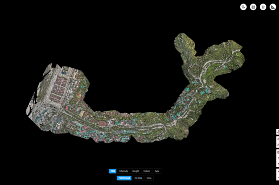
Aerial LiDAR-based Topographic Survey of Omchhu River Basin.
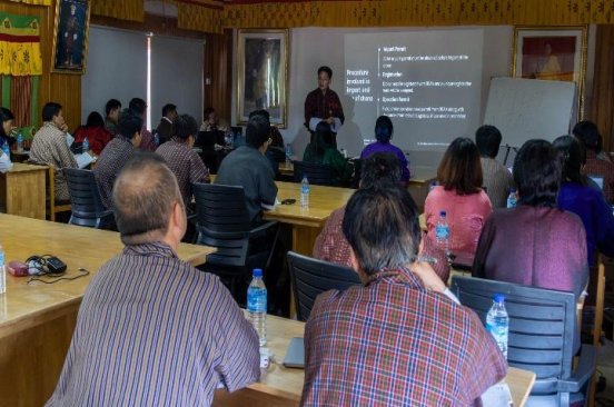
Drones, Data and AI for Climate Action | May 22, 2025
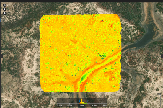
Significant outcome of the project is the establishment of a reliable data baseline that informs local planning.
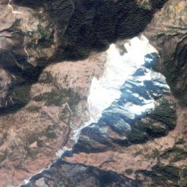
A Case Study from Ramechhap, Nepal
February 20th, 2020
In coordination with Medair, Nepal Flying Labs has mapped the Ramechhap landslide area, one of the largest landslides in Nepal.

Discover the Story Map
Click here

