Using Flying Robots for Hydropower Surveys in Rural Nepal
Nepal Flying Labs carries out several hydropower mapping projects with an aim to introduce and test the potential of drones in surveying hydropower areas.
January 24th, 2018
Blog post by Uttam Puadasaini from Nepal Flying Labs
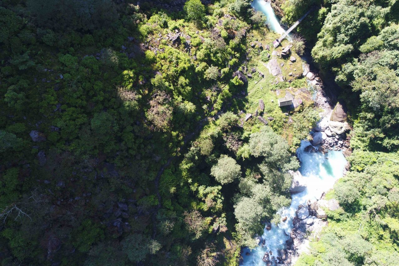
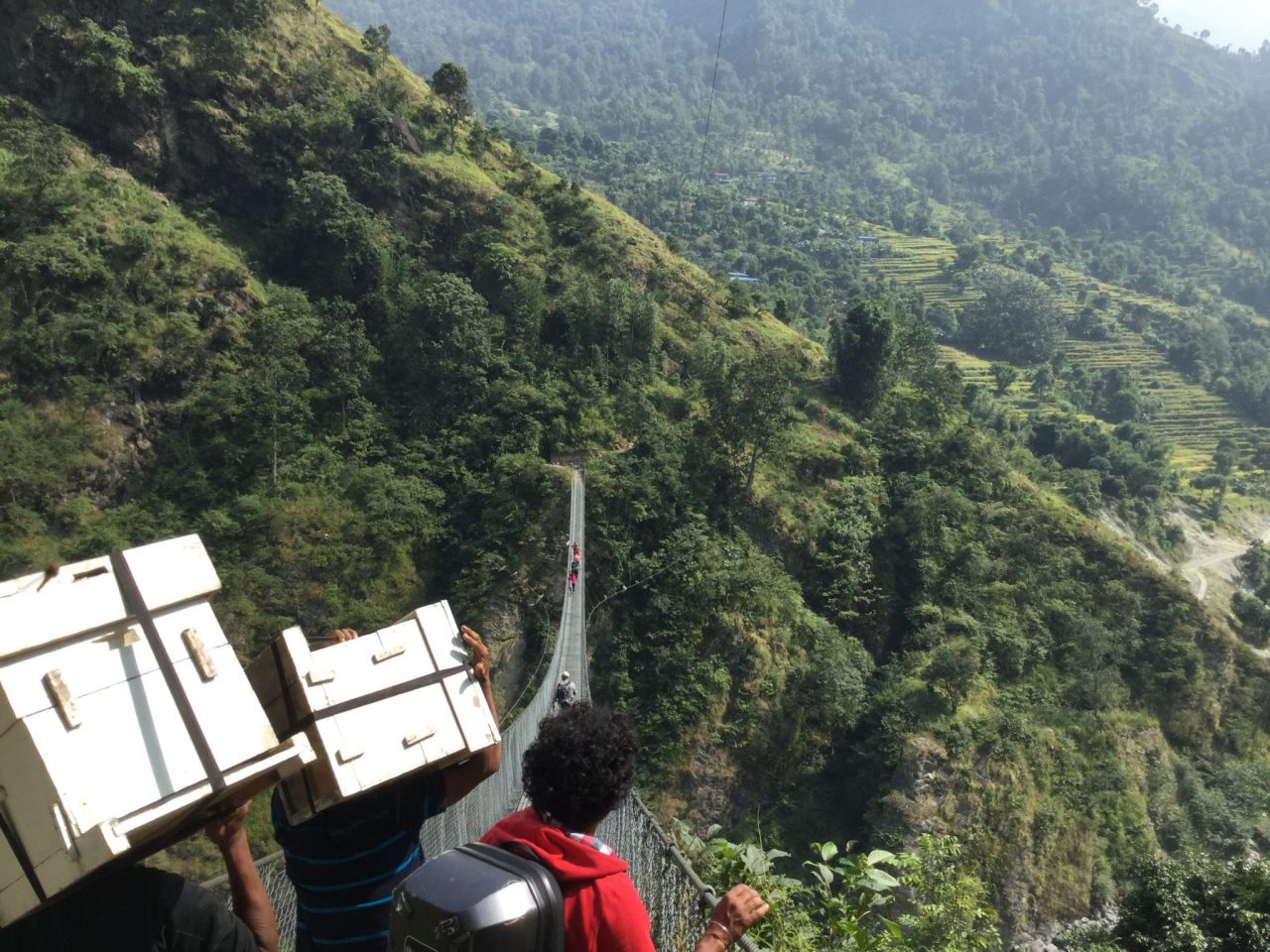
With close to 300 ongoing hydropower stations and new ones in the pipeline, the development of Nepal greatly benefits from this source of electrical production—so much, that Nepal even sells electricity to other countries. Surveying forms the baseline for all sorts of construction stations including hydropower. However, this type of surveying requires comparatively more time than most because hydropower stations are usually located in remote, hilly regions with undulating and difficult to access terrain.
Construction of a hydropower station requires different kinds of land surveying work: Pre-feasibility Reconnaissance survey for preliminary planning, Geological and Environmental Survey, Access Roads Survey, Detailed Topographical Survey for Construction of Hydropower Components and other followup surveying works during the construction. Because of this, there is a huge opportunity for Surveying and Mapping professionals to provide services at different stages. In the context of Nepal, all of these kind of Surveying works are usually performed using Total Station.
The winner of our Business Incubation Program, Dronepal recently carried out several different hydropower mapping projects with an aim to introduce and test the potential, as well as feasibility, of using drones in surveying hydropower areas. Here are some select highlights of few of these projects.
Bhairabkunda Khola Small Hydropower Station
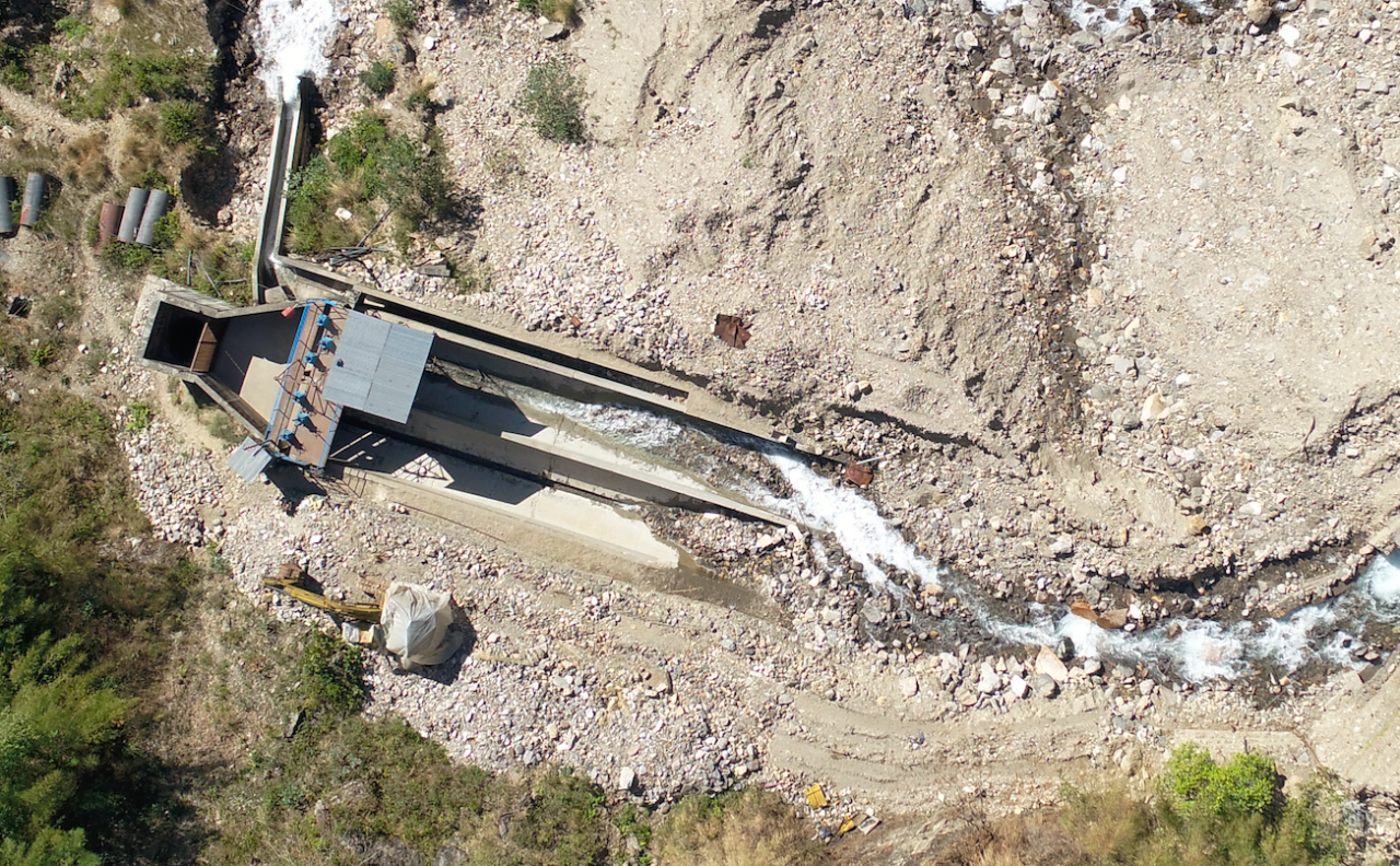
The Nepal Earthquake in 2015 damaged 14 existing hydropower dams, including the 4 small hydropower stations of Sindhupalchowk district. Bhotekoshi HPP (45 MW) completely shut down after the devastating earthquake along with several other stations in that zone. Bhairabkunda is a small station with 3 MW generation capacity. The earthquake destroyed its diversion weir while the floods and landslides afterwards resulted in destruction of the settling basin which ultimately led to shutting down of the hydropower works. DroneNepal signed a contract with Bhairabkunda HPP in December 2017 for aerial topographic survey works including mapping of the huge landslide in settling basin zone. The main objective is to utilize the high resolution aerial images and detailed topographical datasets of the destruction in the region in planning the rehabilitation works of the hydropower. The aerial surveying work is already completed and the team is currently preparing the maps and analysis report of the affected area. We believe that the output datasets provided from the project will largely contribute in better planning the reconstruction works ensuring a smooth hydropower generation afterwards.
Aerial Survey of Liping Khola Hydropower Station (Microhydro)
Liping Khola Hydropower Station has a capacity of 16.26 MW and is located in Liping Khola,Tatopani, Sindhupalchowk district. A mini-hydro station of capacity of 600KW is under development as construction power supply for the major construction works that will be started in coming weeks. The lager station is aimed to be completed in 2020 while the mini station is almost completed. Drone surveys were carried out across 4 areas after establishing a network of Ground Control Points (GCPs). The GCPs were precisely marked using a Differential GPS device and were used to geo-reference the Drone captured images and also to tie the outputs with local coordinate system. Thanks to the use of drones, the time needed to complete topographical surveying was reduced from 1 week to 2 days. The output orthophoto map generated from the surveys are being used by the station design/planning consultant team to identify the risk zones in the landscape, alignment and location of the hydropower components and for pre-feasibility study purpose.
Topographical Surveying of Kalinchowk hydropower Station using Drones Based Image
Kalinchowk Hydropower Station is a small hydropower station with 2600 KW capacity located at Kalinchowk Gaupalika, Ward No 1., Dolakha. The hydropower generation is based on Budhekhani and Bhumithaan rivers and this station is aimed to be completed in 2020. The station site is covered by a thick vegetation which makes traditional surveying using ground based techniques difficult in the landscape. Our team established GCPs across several locations, prioritizing open spaces in between the vegetation as key location for establishing the ground control. The resulting Digital Terrain Model (DTM) was however less accurate because of poor topographical data quality in areas with thick vegetation. However, the orthophoto map was shared with the client and it proved to be useful for 2D measurement throughout the site and planning purpose.
Hongu Khola Hydropower Preliminary Survey – Near Lukla Hydropower Station, Everest
The fact that some hydropower stations are particularly remote makes them difficult, time consuming and expensive to survey. Take Hongu Khola Station, for example. This station is located far from the valley in a remote village at Hongu khola in Chheskam VDC of Solukhumbu District in Eastern Nepal. Despite the fact that a detailed topographical survey of this site was already completed, the management team still wanted us to carry out aerial surveys for acquiring high resolution images of the landscape mainly for visualization of the station components construction location and feasibility study. Our work was highly appreciated by the hydropower team as it provided them a unique view of their station location which help them make decisions remotely from their office at the capital city.
Key Learnings
Working on surveying hydropower stations in the remote hills of Nepal have taught us several lessons resulting to some key learnings. Following are some of the findings and learnings we took away from our experience.
- Majority of the hydropower area are covered with vegetation and trees. In some of the locations, the forest areas is so dense that the ground area is invisible at many locations thus resulting to poor quality of output topographical information like digital surface models and contours at such regions.
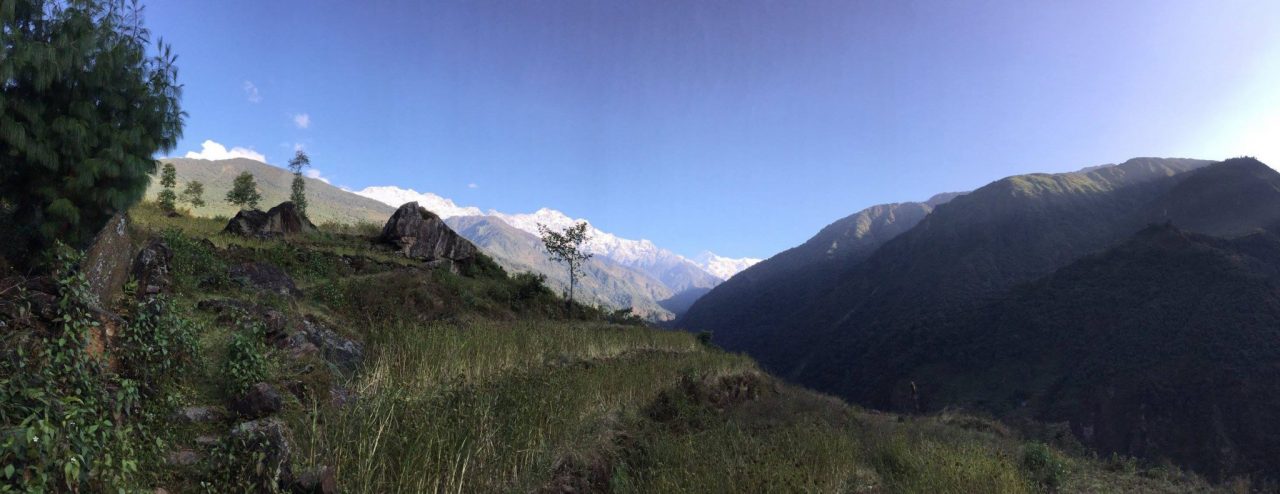
- The data capture gets complex at many regions because of the poor GPS signals. Since its hills on the both sides and River in between, the extent of each aerial flights need to be planned very seriously. At some locations, manual pre-flights around the region help determine the maximum distance to fly so as to avoid crash with the nearby hills.
- It’s always better to carry additional batteries while visiting rural sites for drone based mapping.
Conclusion
Nepal's Department of Electricity development (DoED) has already issued licenses to almost 400 private companies for electricity survey and generation and every month 2-5 companies apply for hydropower survey/study license among which at least 2 receive the license. The DoED has made suveys mandatory, i.e., pre-feasibility, feasibility and detail engineering surveys. This shows there remains a huge potential for drone based survey works as every client desire to have better data and visualization materials for their projects. However, we also need to design better methodologies to meet the data-accuracy requirements of the clients.
Category(s)
Location(s)
Recent Articles
View All »

Wildfire Assessment and Web Application in Sao Paulo

