
Coffee, Climate, and Carbon Credits : A Training Program for Community Resilience in Chiapas
Drones, Data and AI for Climate Action | May 8, 2026
Drone Mapping, GIS Training, and Carbon Estimation with the Yomol A’tel Cooperative
The output of the course left ISU staff in awe of the capabilities and possibilities that lay ahead for them regarding campus planning and monitoring efforts.
June 6th, 2022
Our Team at Uganda Flying Labs undertook training at the International School of Uganda to empower the teaching staff with the knowledge of drone usage and drone data handling. The objective of the course was to display the benefits obtainable from the usage of drone UAV imagery, principles of proper drone surveys such as understanding drone capabilities, assessment of site features of interest, and the environmental constraints, restrictions, and mission planning.
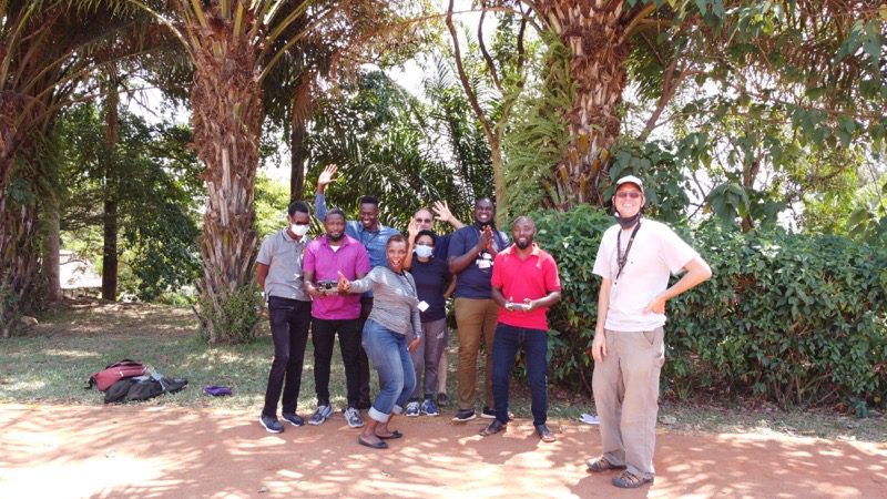
Practical sessions were held with a landing site identified at the school playground. Each trainee was provided pre-flight and post-flight checklists and flight logs. In addition, all trainees were allowed to fly a drone. This was a tension-filled exercise for the trainers and trainees as the latter struggled to maneuver the controllers' joysticks against the strong wind. The trainees were also taken through the automated drone flight exercise procedures using a mission planning application (drone deploy) that determined settings such as overlaps, flying height, and site extents. Finally, a small demonstration site was selected, over which the exercise was conducted successfully.
About 300 images were captured in the exercise. These were introduced into a software known as PIX4D Matic, which stitched the images together to obtain products such as the Densified 3D Point Cloud and 3D Mesh Ortho-Mosaic, and Digital Surface Model (DSM). These provided good ground for several types of analysis in other software.
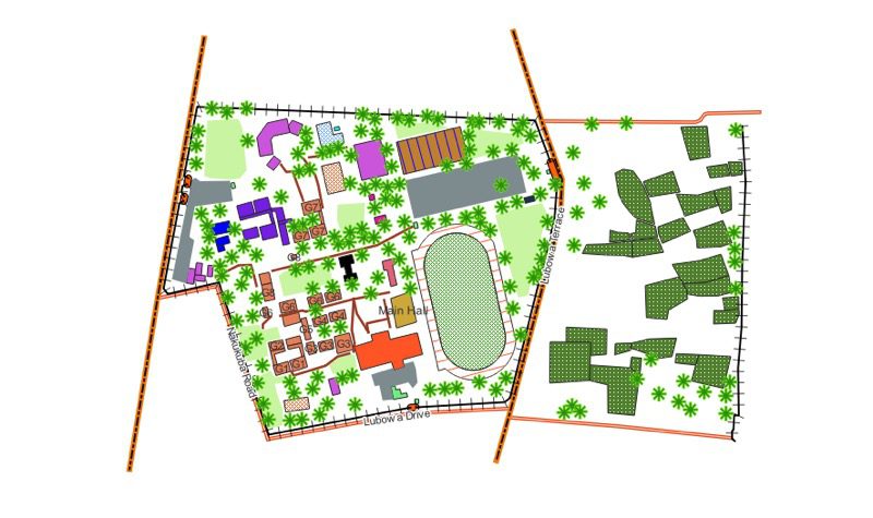
The trainees were then taken through some data extraction procedures from the generated datasets so that the field data could be put to meaningful use. Products such as a Digital Terrain Model (DTM), which could be used for other purposes such as volume calculations for stockpiles and vegetation cover, were derived from the Digital Surface Model. Furthermore, a demonstration of extracting vector data from an orthophoto was done using a popular Opensource software known as QGIS. The team members were able to generate datasets about the school campus and add attribute data to the features such as buildings, parking lots, and roads.
They were shown how to manipulate the features in terms of symbology and labeling, how to carry out spatial analysis with the various geoprocessing tools, and lastly, how to generate nice-looking and informative maps.
The output of the course left ISU staff in awe of the capabilities and possibilities that lay ahead for them regarding planning and monitoring efforts concerning the school campus. Uganda Flying Flying Labs is looking forward to more engagement with the sweet-spirited ISU members and their opportunities to use drones for their campus agricultural projects and students.

