Pakistan Flying Labs at Aerothon Drone Tech Expo NUST 2025
Drones, Data and AI for STEM / Youth | January 15, 2026
The teams impressed the audience with demonstrations that truly reflected the spirit of innovation and excellence.
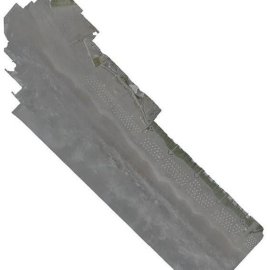
Collecting Imagery to Showcase the Visible Effects of Beach Pollution
February 12th, 2024
This use case showcases how Peru Flying Labs carried out a photogrammetric survey to make visible the pollution on the coast of Lima.

Discover the use case
Download


