Pakistan Flying Labs at Aerothon Drone Tech Expo NUST 2025
Drones, Data and AI for STEM / Youth | January 15, 2026
The teams impressed the audience with demonstrations that truly reflected the spirit of innovation and excellence.
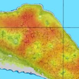
Sea Level Monitoring in the Zapatilla Islands, Panama
March 1st, 2020
This use case discusses how drones can be used to monitor islands' sea levels and make the process quicker, more accurate, and more effective.

Discover the use case
Download

