Reaching the Unreached: A Doctor’s Call for Equity
Drones, Data and AI for Health | December 10, 2025
Watch the documentary now to witness Philippines Flying Labs' work using drones to fight tuberculosis in remote communities.
Pre-harvest Loss Estimation Using Satellite Images Calibrated with Drone Data
February 1st, 2020
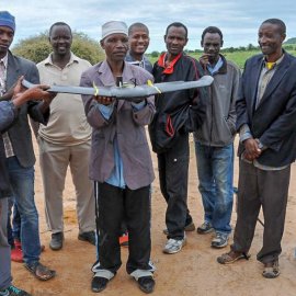
This use case features a pilot project by Tanzania Flying Labs in using drone data, GPS, and a self-reported survey of farmers to validate satellite data to better understand crop production and loss.
You will need to give cookie consent in the Experience option to see this video. Click the cookie link at the bottom right of the page to change your preferences.

Discover the use case
Download

