Reaching the Unreached: A Doctor’s Call for Equity
Drones, Data and AI for Health | December 10, 2025
Watch the documentary now to witness Philippines Flying Labs' work using drones to fight tuberculosis in remote communities.
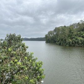
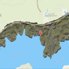
Brazil Flying Labs collaborated with the Forest Foundation to map the Atlantic Forest to raise awareness among community members.
October 18th, 2024
Brazil Flying Labs collaborated with the Forest Foundation to map the Atlantic Forest to raise awareness among community members on the importance of forest preservation and the use of drone technology in forest conservation. The production of an orthomosaic, Digital Surface Model and Point Cloud led to the stakeholders reaffirming their commitment to awareness activities on forest preservation.

Discover the Storymap
Read
Discover the use case
Download


