It's Not about Drones; It's about People
Drones, Data and AI for Disaster | June 13, 2025
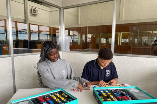
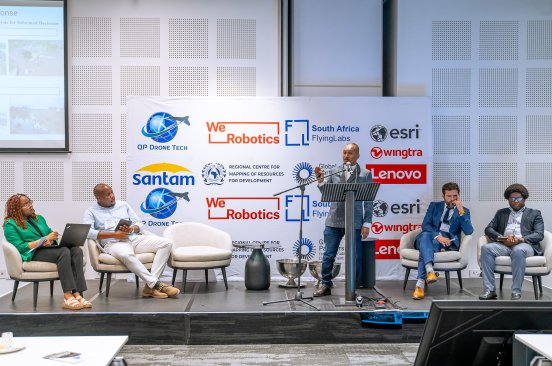
Botswana Flying Labs found success in community engagement during their Turning Data Into Action project.
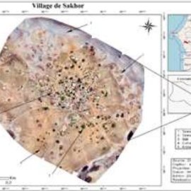
Drone Mapping of Saline Lands in the Commune of Loul Sessène
July 1st, 2021
Through this use case, Senegal Flying Labs shares their experience of conducting drone mapping of the commune of Loul Sessene to estimate the area of the saline flats and understand the dynamics of the spatio-temporal evolution of saline lands.

Discover the use case
Download

