Reaching the Unreached: A Doctor’s Call for Equity
Drones, Data and AI for Health | December 10, 2025
Watch the documentary now to witness Philippines Flying Labs' work using drones to fight tuberculosis in remote communities.
Drone 3D mapping of Engaruka archeological site
February 1st, 2020
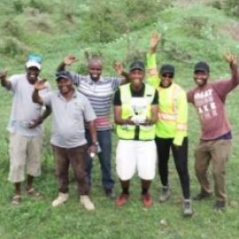
Read this use case to discover how Tanzania Flying Labs conducted a drone photogrammetry survey to analyse the gullies and rills as well as the archeological features of the Engaruka Archeological Site.

Discover the use case
Download

