Reaching the Unreached: A Doctor’s Call for Equity
Drones, Data and AI for Health | December 10, 2025
Watch the documentary now to witness Philippines Flying Labs' work using drones to fight tuberculosis in remote communities.
Turning Data into Action by Mapping Ombili - Informal Settlement in Namibia
February 1st, 2022
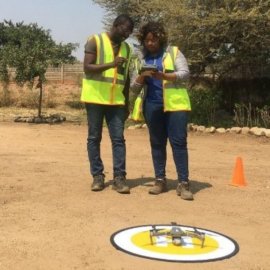
In this use case, Namibia Flying Labs discusses how they used drone technology to produce a report and detailed maps of informal settlements, providing the necessary insights and information to the municipality to help them plan more efficiently for services provided in these areas.

Discover the use case
Download


