Pakistan Flying Labs at Aerothon Drone Tech Expo NUST 2025
Drones, Data and AI for STEM / Youth | January 15, 2026
The teams impressed the audience with demonstrations that truly reflected the spirit of innovation and excellence.
The participants had the opportunity to explore the world of drones and see the application of LiDAR sensors and the information that can be collected.
November 8th, 2024
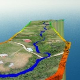
Colombia Flying Labs engaged stakeholders in hands-on training on UAV-based LiDAR in flood monitoring in the Colombian Andean region. The participants explored the world of drones, learned about the application of LiDAR sensors, and learned about the information that can be collected for improved decision-making in flood risk management.

Discover the Use Case
Download


