Pakistan Flying Labs at Aerothon Drone Tech Expo NUST 2025
Drones, Data and AI for STEM / Youth | January 15, 2026
The teams impressed the audience with demonstrations that truly reflected the spirit of innovation and excellence.
Exploring the Applications of Multispectral Sensors with Drones for Regenerative Agriculture
July 5th, 2024
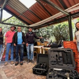
Colombia Flying Labs engaged student farmers, local community members and other professionals in training to verify the significance of using multispectral sensors with drones in regenerative agriculture.

Discover the use case
Download

