Reaching the Unreached: A Doctor’s Call for Equity
Drones, Data and AI for Health | December 10, 2025
Watch the documentary now to witness Philippines Flying Labs' work using drones to fight tuberculosis in remote communities.
Use of Drones for Land Survey and Mapping to Improve Livestock Grazing and Farming
February 1st, 2020
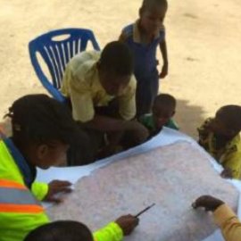
This use case provides details about how drone data can add value to existing methods of data collection by mapping village farms to study land use patterns in Tanzania.

Discover the use case
Download

