Collective Strength to Scale Impact: Angola Flying Labs Rejoins the Network
The team aims to contribute to Angola’s digital transformation by promoting the responsible integration of drones and AI into public and private sector systems.
August 28th, 2025

Angola Flying Labs is excited to rejoin the global Flying Labs Network!
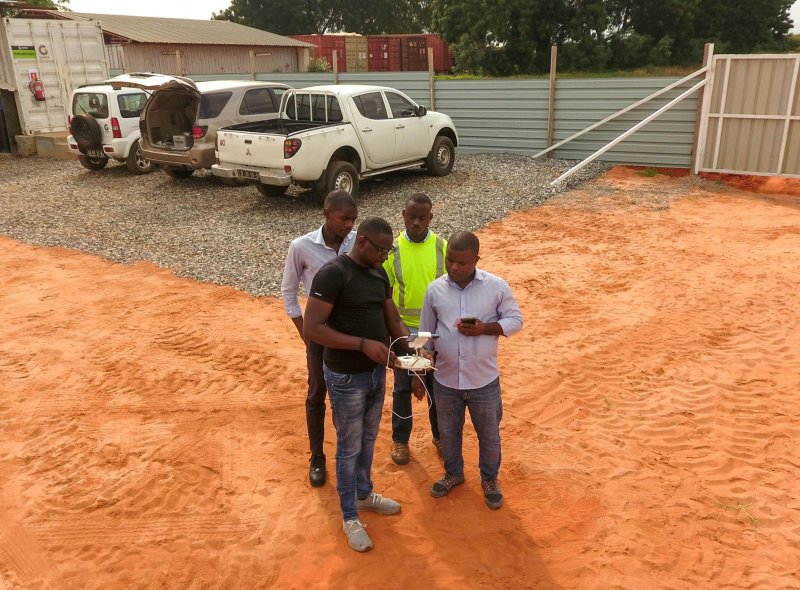
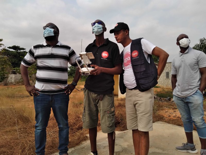
This return is both a strategic and heartfelt step, motivated by our strong desire to be part of a global community that actively promotes local expertise, responsible drone use, and technology for good. The Network’s values deeply resonate with our mission: empowering local talents to drive sustainable development and innovation through drone and data technologies.
As part of the Network, Angola Flying Labs, led by Coordinator Hermenegildo Sebastião, gains access to a collaborative environment that thrives on shared knowledge, resources, and experiences. This collective strength enables us to scale our impact, co-create meaningful solutions, and contribute to the Network’s growing legacy of local empowerment and technological inclusion.

Our Core Focus
We are dedicated to harnessing the power of drones and data to address pressing challenges and support sustainable development across the country. Locally, we prioritize capacity building for communities — particularly youth and women — while delivering practical drone-based solutions in agriculture, disaster response, public health, and environmental monitoring. Nationally, we aim to contribute to Angola’s digital transformation by promoting the responsible integration of drones and AI into public and private sector systems. We look forward to collaborating with government institutions, universities, and local innovators to encourage inclusive, locally driven innovation.
Our Achievements So Far
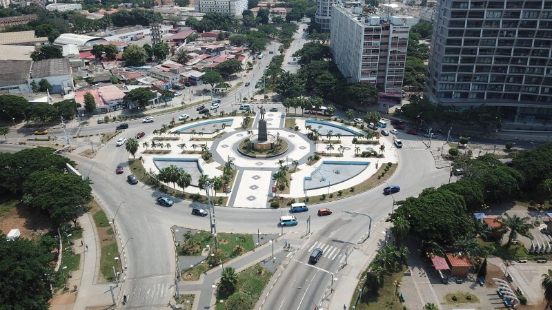
Through Dronesig Angola, we have already implemented impactful projects that showcase the potential of drone and geospatial technologies. In agriculture, we supported farmers with NDVI mapping and precision spraying, improving crop management and yields. In infrastructure, we carried out aerial surveys and 3D mapping for road and construction projects, enhancing accuracy and reducing costs. We also provided environmental monitoring and disaster response assessments, delivering evidence-based insights to local authorities for informed decision-making. These successes were possible because we paired advanced technology with local needs and delivered measurable benefits to local stakeholders.

Looking Ahead
In the next 3–6 months, Angola Flying Labs plans to expand its impact even further. We will scale precision farming services, enhance aerial mapping for infrastructure and urban planning, and launch environmental monitoring initiatives to strengthen climate resilience. We also aim to pilot public health projects, including vector control and medical deliveries to remote communities. Central to all these efforts will be training programs for youth and women, ensuring that local expertise continues to drive innovation and sustainable development.
We are proud to rejoin the Flying Labs Network and look forward to building a future where Angola becomes a leader in locally led drone innovation in Africa.
Category(s)
Recent Articles
View All »

Team Cameroon's Road to Victory at the First Global Robotics Competition 2025
