Brazil Flying Labs Hosts Geoprocessing and Applied AI Course
MapeiaLAB is part of a larger fire assessment project aimed at addressing wildfires in São Paulo state.
September 16th, 2025
Read this article in Portuguese here.
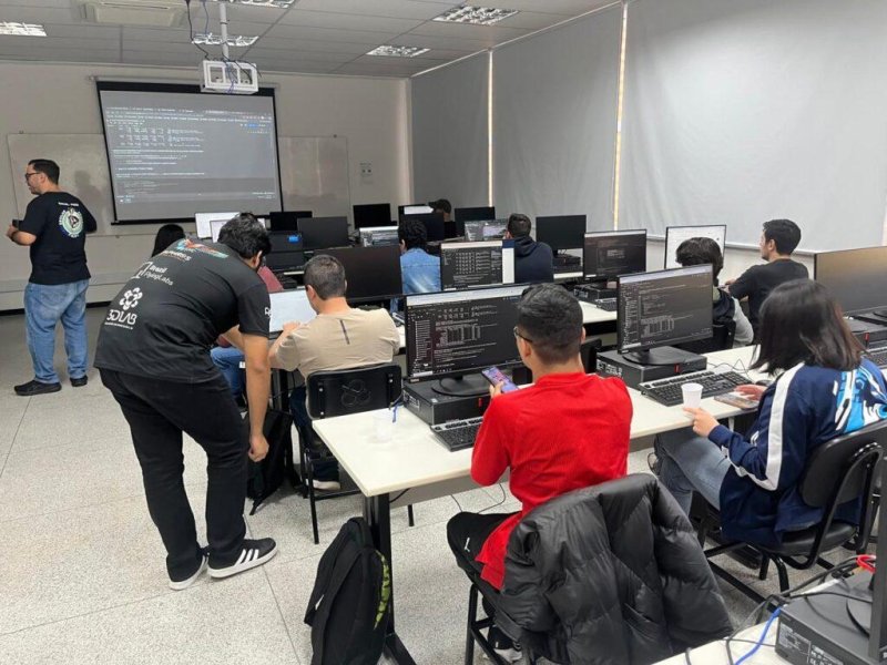
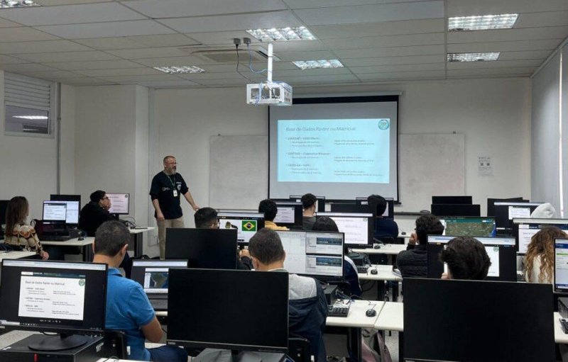
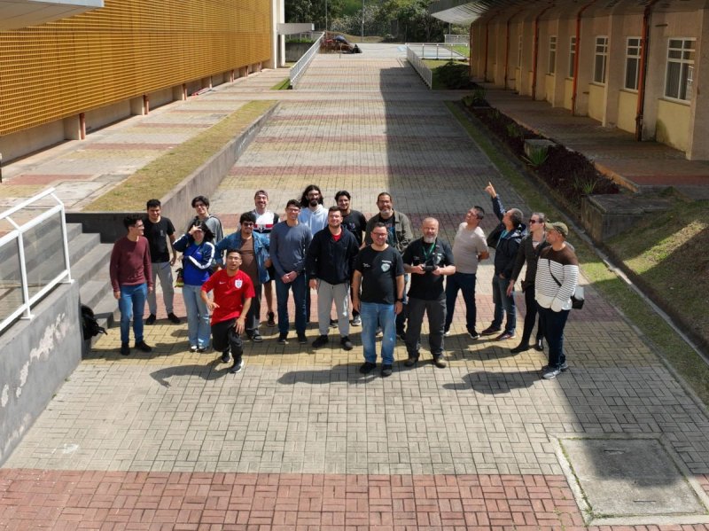
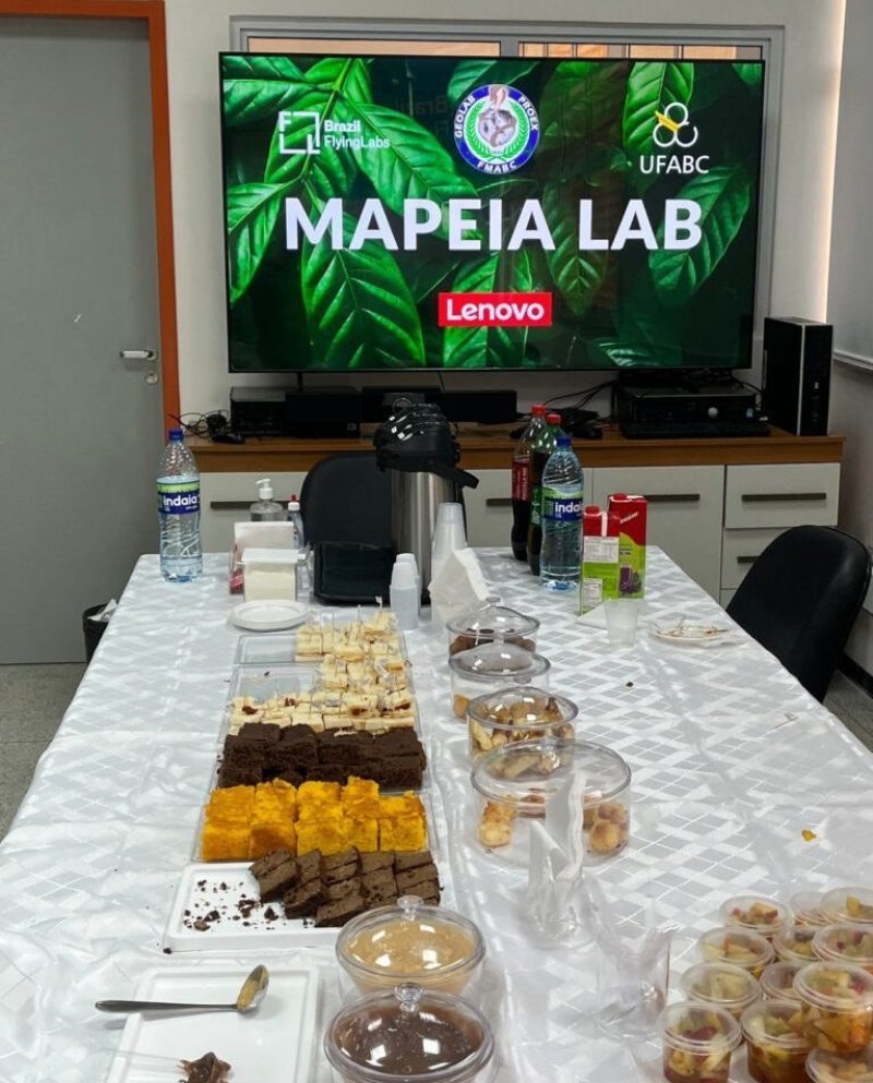
From August 27 to 31, 2025, Brazil Flying Labs, in partnership with Lenovo, GeoLAB, Tech To The Rescue, UFABC, Pix4D, and DroneAI, hosted the course MapeiaLAB: Software Technologies for Mapping, Geoprocessing, and Applied Artificial Intelligence in São Bernardo do Campo.
The initiative brought together professionals, researchers, and students eager to master modern geotechnology tools, remote sensing, and spatial data analysis in an intensive, collaborative learning environment.
MapeiaLAB is part of a larger fire assessment project aimed at understanding and addressing wildfires in São Paulo state, developed by Brazil Flying Labs and its partners. The effort not only seeks to generate technological solutions for the prevention, monitoring, and response to forest fires but also aims to promote these tools within academia, public entities, and society at large.
By promoting the use of modern GIS (Geographic Information Systems) tools, the project contributes to building local capabilities and encouraging the adoption of innovative methodologies to tackle pressing environmental challenges.
Exploring Cutting-Edge Technologies
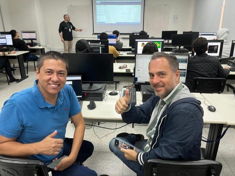
The 35-hour in-person course was designed to offer immersive, hands-on learning. Participants worked with industry-standard tools like QGIS and PIX4Dmatic and explored automation workflows using Python with applications in artificial intelligence.
Key topics covered included:
- Geoprocessing with QGIS — manipulation, visualization, and spatial data analysis
- Remote sensing and drones — aerial imagery processing and topographic surveying
- Spatial regression models — spatial autocorrelation and statistical analysis applied to geographic data
- Landscape metrics and spatial ecology — analyzing connectivity, fragmentation, and environmental patterns
- Python and applied AI in geoprocessing — scripting and automating analyses
Expert Instructors
The course was led by instructors with strong academic backgrounds and practical experience:
- Roberto Ilacqua — PhD candidate in Health Sciences at FMABC, researcher on deforestation and epidemiological impacts, with extensive experience in drone and satellite imagery for environmental health applications.
- Reginaldo Cardoso — PhD in Mechanical Engineering from USP and postdoctoral researcher at UFABC, specializing in drone navigation through computer vision and control of nonlinear systems.
Their varied profiles provided an interdisciplinary perspective, seamlessly linking science, technology, and real-world applications in areas like environmental planning, urbanism, and health.
Active Methodologies & Peer Learning
Rather than traditional lectures, the course used active learning methodologies, encouraging participants to tackle real-world problems and immediately apply new knowledge.
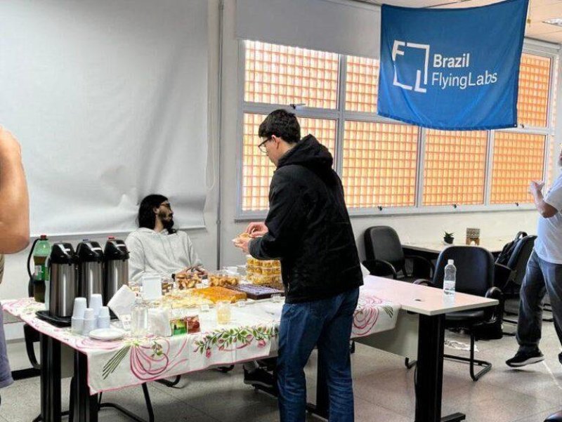
The event also fostered valuable networking among professionals spanning academia, industry, and public sectors—creating a dynamic space centered on socially and environmentally impactful innovation.
Recognition & Certification
Upon completion, participants received a certificate issued by UFABC, reinforcing the academic credibility of the training. This certification is a notable asset for professionals working in geotechnologies, territorial planning, precision agriculture, environmental monitoring, and urban management.
Partners & Lasting Impact
The course was made possible by a collaborative effort among Brazil Flying Labs, Lenovo, GeoLAB, Tech To The Rescue, UFABC, Pix4D, and DroneAI. These organizations share a belief in the transformative power of science and technology and played a crucial role in bringing MapeiaLAB to UFABC.
Beyond the classroom, the course’s impact ties into strategic projects that blend technology, sustainability, and public policy—creating a virtuous cycle of innovation benefiting society and the environment.
What’s Next
Brazil Flying Labs remains committed to offering programs that fuse technological innovation with social relevance and practical application. New editions of MapeiaLAB and other courses are in the pipeline, all with the goal of strengthening the community of professionals and researchers working with drones, spatial data, and artificial intelligence.
To stay updated on future activities and opportunities, follow Brazil Flying Labs on our official channels and subscribe to the Flying Labs Network email newsletter.
Location(s)
Recent Articles
View All »

Team Cameroon's Road to Victory at the First Global Robotics Competition 2025

