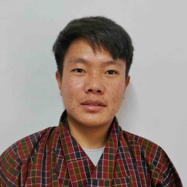
Yonten Jamtsho
Coordinator

Yonten holds a Diploma in Survey and Geoinformatics. He is skilled in performing ground, drone and GIS surveys, operating survey instruments, completing data analysis (ArcGIS & Q GIS) & mapping (LIS CAD & AutoCAD), Architectural 2D & 3D designing, and graphic design. He can operate Pix4D, Agisoft Metashape & DroneDeploy.