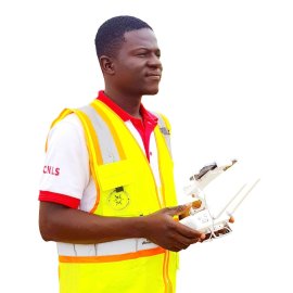
Tchoou Paul Gnassingbe
Chief Drone Pilot & GIS Analyst

Paul is a certified professional drone pilot, trainer, GIS, and remote sensing specialist. He has a BAC+2 in finance and accounting, a professional drone pilot certificate from Dakar, Senegal, and a Graduate Diploma in Geographic Information Systems from Alison. He has been recognized for his achievements, receiving the GLOBHE GWR Contributor Award for his role in the success of the Guinness World Records™ 2022 with aerial drone shots and the best speaker award for his contributions to the videoconference on using open-source data and software for GIS projects and SDG achievement in Africa.