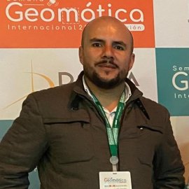
Mauricio Erazo
Geomatics & Drone Pilot

Mauricio is an Aeronautical Engineer and a Geomatics Specialist. He has extensive experience in the handling of different equipment and sensors for data capture in the field, such as airborne LIDAR systems, terrestrial laser scanners, global navigation satellite systems (GNSS), remotely piloted aircraft systems (RPAS), and optical and laser sensors. Mauricio is also well-versed in software for processing and handling field data and various geographic information systems (GIS), surveying, and design software for managing processed information.