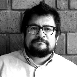
Juan Manuel Nuñez
Geomatics and Drone Expert

Juan Manuel has a Doctorate and a Master's in Geomatics from Geospatial Information Science Research Center (CentroGeo) and a Bachelor of Topography and Geodesy from the UNAM. In addition to teaching, his main professional activity focuses on environmental spatial analysis and urban remote sensing, with particular emphasis on developing models for the study and prospective simulation of Land-Use Land-Cover Change.