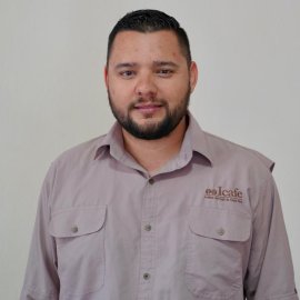
Diego Monge Chinchilla
Volunteer

I am a Forest engineer specializing in Geographic Information Systems (GIS) with over eight years of data analysis and visualization expertise. I have skills in Artificial Intelligence, Python-based task automation, and imagery processing from various sensors such as drones and satellite imagery.
I've developed tools tailored to support technicians aiding farmers, empowering them with efficient solutions for their day-to-day challenges for coffee farmers, fishers, and the prevention of wild forest activities.
I lead the data unit at ICAFE, where I spearhead initiatives leveraging cutting-edge technologies to drive actionable insights and informed decision-making. Additionally, I am a certified drone pilot, utilizing aerial perspectives to enhance data collection and analysis in diverse settings.