The Potentials of UAVs to Monitor Vast Forests in the Highlands of Fiji
Growing demand for Asia's timber has led to forest degradation and inadequate conservation. Drone technology is one of the best ways to combat this challenge.
October 8th, 2019
Forestry and the forest-related economic activities are vital in the South Pacific region. In Fiji, export earnings from the forest sector are ranked third after agriculture and tourism. While many countries struggle to cover even 10 percent of their land with sustainable vegetation, nearly 50 percent of Fiji's 1.83 million hectares of land teems with native forest. While the wood is abundant now, growing demand for Asia's timber has led to forest degradation, illegal logging practices, and inadequate conservation.
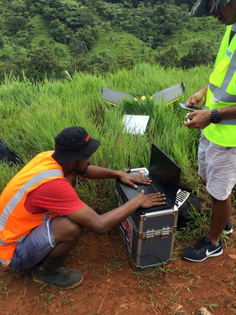
 Drone Team preparing for flights at Nakavu
REDD+ and GIZ are involved in multiple sustainable development projects in the forestry sector for climate change adaptation in the South Pacific and have launched several pilot projects in Fiji. Together with the Ministry of Forestry, these pilot projects aim to be embedded into a replicable program throughout the South Pacific island nations once they begin yielding positive results. One such project on which South Pacific Flying Labs participated studied the capabilities of drones to assess forest degradation and biomass loss at Nakavu in Navua. While traditional methods continue to be useful for managing forests, drones offer the added advantage of coverage and documentation, which is difficult to ignore.
While traditional methods continue to be useful for managing forests, drones offer the added advantage of coverage and documentation.
Located in the district of Namosi, the project site comprises 12 different logging compartments, each ranging from 40 - 95 acres, making the Nakavu forestry area a total of 766 acres of dense forest. A team of three (two pilots and one spotter), equipped with an eBee, made bi-weekly site visits for more than 14 weeks for data collection. The journey to the site takes about 90 minutes from the main road, but it was often much longer as heavy rain washed away most of the roads. Mapping the large compartments based on logging activities is already a difficult task, and strong wind and rain made this work even more difficult. The harsh and unknown terrain posed risks of a sudden increase in wind speed or change in direction, causing significant distortions in the data. Despite this, as the week progressed, new knowledge of the current site and new deployment strategies were implemented to help improve the accuracy and efficiency of the drone so that it could collect reliable data. In instances where a proper digital surface model failed to generate accurately, the team deployed an Inspire II as it proved to be more stable than the long-range eBee.
The work done by the Drone Team was integrated with tree logging shapefiles supplied by the Field Team conducting supervision on the ground (as seen in the maps) both before and after logging took place. Coordinates of all of the trees which had been pre-recorded by the Field Team and maintained by the Forestry Department were automatically color-coded in the maps, which were generated to depict that it had been felled. Further data analysis, which includes allometric equations calculations, is all that is left to be conducted by both the teams.
While the work of monitoring these forests is challenging, drone technology is one of the best ways to wisely measure and manage our resources.
Category(s)
Location(s)
Recent Articles
View All »

Wildfire Assessment and Web Application in Sao Paulo
