Sensitizing the Youth on Drone Technology: Welcome Jamaica Flying Labs
The team believes collaboration among stakeholders to be one of the most successful ways to foster a culture of entrepreneurship and innovation.
March 7th, 2019
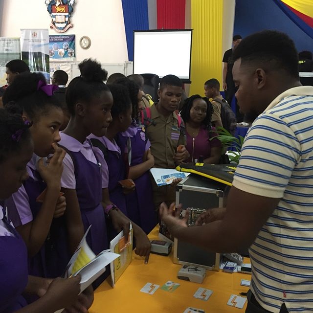
 Valrie Grant, Managing Director at GeoTechVision, first heard about our Flying Labs network during a presentation in Fiji. From that inspiring moment, the plan was clear: set up a new branch with her team back in Jamaica, with the goal to sensitize the youth and the population at large about the positive application of drone technology.
Jamaica Flying Labs’ reach currently extends across the entire Land of Jamaica as well as multiple Caribbean countries, with conversations around training and professional services already taking place in Guyana, St. Maarten, and Turks and Caicos. The GeoTechVision team has a proven track record of successful projects, ranging from aerial surveys in Guyana and several projects in Jamaica including the Marlie Mount Property in Old Harbour, to charitable aerial surveys of the University of Technology and UAV training for government, soon to be replicated in summer camps.
To support the development and build-up of the knowledge hub will be the Marlie Technology Park with the mission of bringing together key stakeholders from the technology sector: universities (where the University of Technology and the geomatics department of the University of the West Indies, St. Augustine act as training partners), incubators, businesses, and the public sector.
The team at Jamaica Flying Labs believes this to be one of the most successful ways to foster a culture of entrepreneurship and innovation specific to the sector. Capacity building in Jamaica and the Caribbean region does indeed address the shortage of trained drone professionals, especially in their chosen areas of application, including private sector, retail, development and the environment.
Please join us in welcoming Jamaica Flying Labs and stay tuned for upcoming updates on their drones-for-good work.
Category(s)
Recent Articles
View All »

Wildfire Assessment and Web Application in Sao Paulo
