Protecting Harare's Wetlands with Drone Data
Zimbabwe Flying Labs embarked on an aerial mapping exercise at Monavale Vlei to produce digital map data for a base map to monitor changes in the wetland area.
September 22nd, 2021
Wetlands help maintain a balanced ecosystem between humans and nature. They provide a natural mechanism for cleaning our water supply while, at the same time, providing a natural habitat for diverse wildlife.
Harare, Zimbabwe's capital, has rapidly urbanized over the past two decades. As a result, it is a city burdened by limited access to clean drinking water, which, as the population increases, so makes the demand for scarce water resources. The city has also seen a spike in residential property developments approved for construction in known wetland areas, further compounding the issue.
Zimbabwe is a signatory of the Ramsar Convention, which came into effect in 2013, and there are seven sites around the country designated as Wetlands of International Importance (Ramsar Sites). These Ramsar sites cover more than 450,000 hectares, and three of these sites are located in Harare.
 The Harare Wetlands Trust, a community-led environmental organization that oversees some wetland areas, particularly Monavale Vlei (Wetland), has made it their mission to do all they can to safeguard the remaining wetland water sources. However, one challenge faced by environmental organizations like Harare Wetlands Trust is a lack of up-to-date topographical and digital maps of the identified wetland areas—without which they cannot accurately monitor and determine the extent and impact of degradation and encroachment into the wetlands. So Zimbabwe Flying Labs contacted the Harare Wetlands Trust to support their efforts by leveraging drone-gathered data.
After our initial engagement, we discovered that one of the Ramsar Wetlands sites, Monavale Vlei, has not been mapped since the early 2000s—nearly 20 years ago. At that time, the survey was conducted by plane and photographer. Today, the primary data they rely upon is satellite imagery, but it is not as detailed or up-to-date enough to monitor ground activities.
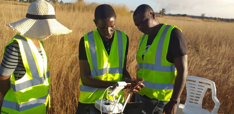
Between June and August of this year, Zimbabwe Flying Labs embarked on an aerial mapping exercise at Monavale Vlei, an area covering over 100 hectares, to produce digital map data for a base map to monitor changes in the wetland area. They can use this data to support their decision-making process—turning data into action.

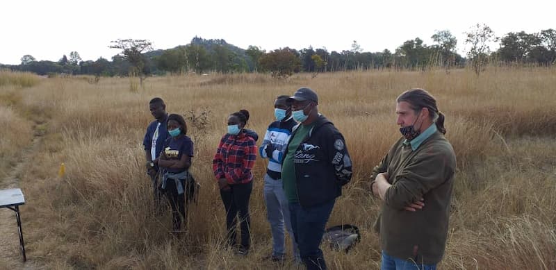
Using an RGB sensor mounted on a multi-rotor drone, the Zimbabwe Flying Labs team conducted aerial mapping over three days, including a trial mapping exercise for key stakeholders. The trial mapping exercise included principals from Harare Wetlands Trust and students from the University of Zimbabwe studying environmental science.
The results of the mapping exercise produced a digital terrain model, a digital surface model, and an orthomosaic map. Harare Wetlands Trust is now using the high-resolution data to view topographical features in greater detail to determine the extent of wetland degradation from crop cultivation by nearby residents and encroachment of residential property developments.
After seeing the usefulness of the data, the Harare Wetlands Trust proposed that aerial mapping be done more regularly (seasonally) to have comparative data over time, and Zimbabwe Flying Labs looks forward to a continued partnership with them.
Category(s)
Recent Articles
View All »

Bangladesh Flying Labs Takes Drone Tech to Underserved Girls
