
Mauritania Flying Labs Joins the Network
Flying Labs Network | July 20, 2026
The establishment of Mauritania Flying Labs creates a platform for long-term innovation, responsible technology use, and sustainable development impact.
Philippines Flying Labs joined the medical mission as part of the drone team to map three regions ravaged by the fire.
August 29th, 2019
Remote Area Medical (RAM) Philippines, in close coordination with the local first responder teams, conducted a medical mission in November 2018 in Jolo, Sulu to help respond to the health needs of the 30,000 residents affected by the fire, four months prior. Jolo, Sulu is a part of the Autonomous Region of Muslim Mindanao (ARMM), where, due to its remote location, health disparity exists.
 Figure 1. Sulu Island in Mindanao
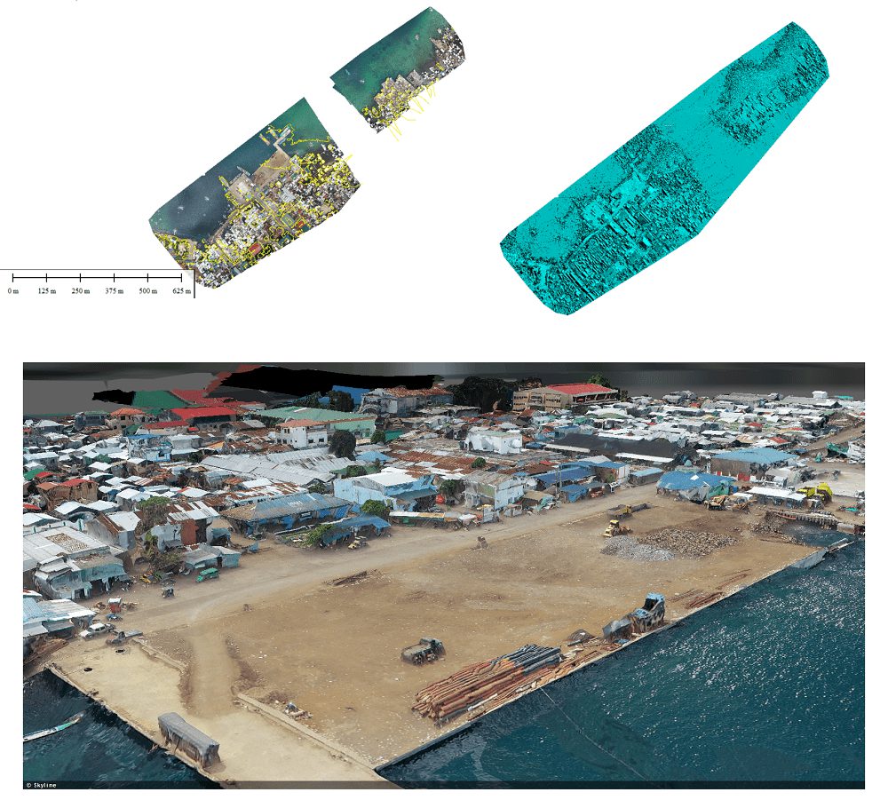
Philippines Flying Labs joined the medical mission as part of the drone team to map three regions ravaged by the fire, including, Barangay Walled City, Barangay Talipao, and Rahmat Island. However, due to its proximity to the airport, only a portion of the affected area was mapped to comply with the Civil Aviation Authority of the Philippines which required a ten-kilometer buffer radius from the nearest airport to fly safely. This restriction limited the scope of the mapping project, hence missing critical information for first responders to best intervene.
 Figure 2. Left: Drone image of the damaged area in the Walled City; Right: Proximity of airport to fire incident area
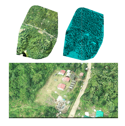
In addition to the mapping project, the drone team trained and demonstrated drone applications for mapping to the local responders. Held in Brgy Busbus, drone take-off and landing point demonstrations occurred in an open space near the pier. As part of the session, the team demonstrated how to store correctly, setup, and use mapping applications for drones.
 Figure 3. Dr. Heidi from RAM PH and PFL, giving her message to the residents in Brgy. Dalih, Talipao.
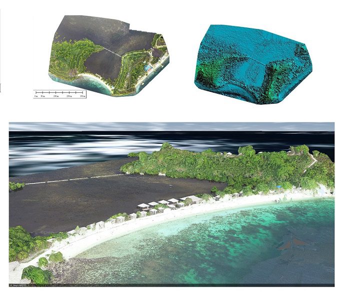
 Figure 4. Rahmat Island Resort
1. Flight Details
The local first responders accompanied the drone team during the aerial survey as a safety escort. Flight planning for mapping was done on an iPad mini using the Pix4D Capture application.
| Fly Area | Area (Hec) | Survey Time Total |
|---|---|---|
| Barangay Busbus, Jolo | 39.89 | 20 mins |
| Barangay Dalih, Talipao | 41.68 | 23 mins |
| Rahmat Island | 42.32 | 25 mins |
There are areas the team was not able to map due to the aviation authority’s flight restriction, and our flight was limited to one TOL area within the DJI Phantom 4 Pro time range. Take-off and Landing (TOL) area were in secured areas.
 Figure 5. An example flight plan from Pix4D Capture application
2. Data processing and practical applications
Philippines Flying Labs used this opportunity to introduce drones for mapping and other useful applications that can contribute to assessing restricted, at-risk areas.
The raw images were geo-processed, aligned, and mosaicked using Pix4D software. Output results created were orthomosaics, DSMs DTMs, 3D models, and contour lines. A 3D model of the island was produced using Skyline to view using a computer or mobile device for simple analysis.
High-resolution orthomosaics of a risk area can give local actors spatial insights on unknown territories, such as information on civilian residents and geographical features (rivers, lakes, ponds, grassland, forest, barren soil). The digital terrain model can provide elevation information, allowing us to assess which areas have high grounds, identify safe locations for evacuations, advantageous, and disadvantageous zones. Lastly, 3D data (a combination of DEM and ortho-mosaic photo) are useful visualization tools of the area surveyed.
The mapping done by the PFL team was able to complement the medical services provided by the RAM team. With the maps provided by the PFL team, the local responders were able to identify the residents affected by the fire and made sure that they were able to avail of the medical services offered by RAM. Also, the local responders were able to tell which areas needed rehabilitation for the rebuilding process. With the collaborative efforts between RAM, PFL, and the local responders, 1,054 patients received the much needed medical services, and plans were formulated to facilitate better the rebuilding process helping the community to build back better.

