Mexico Flying Labs Deploys Training and Technology to Lift People and Communities
Through projects and consultancy services, Mexico Flying Labs generates knowledge for vulnerable communities to improve their quality of life.
May 3rd, 2023

Mexico Flying Labs has officially launched, and they are already making waves in the field of geospatial information sciences. The team of multidisciplinary professionals is working to promote the use of information technologies for the betterment of society. They prioritize applying new technologies to empower traditionally excluded groups with access to these tools and to foster youth involvement in their efforts.
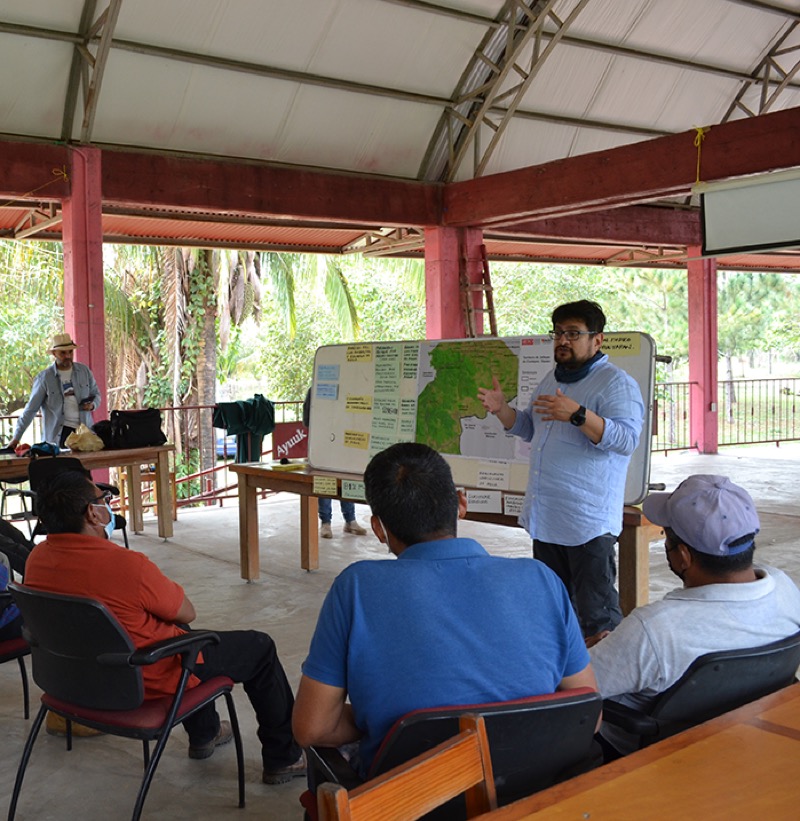
One of Mexico Flying Labs' current projects is the "Information Generation for Comprehensive Territory Management (2019-2023)." This project uses drones to capture aerial images and create digital maps for managing rural communities. Jaltepec de Candayoc in Oaxaca, Mexico, within the Selva Lacandona region, is one of the communities benefiting from this project. These digital maps provide valuable insights for community planning and development and are expected to be completed by July-December 2023.
Mexico Flying Labs also offers training in drone operation, spatial analysis, and satellite imagery to students and rural communities. They have formed an agreement with the National Statistical Agency (INEGI) to develop joint workshops on Remote Sensing and Drone Data Analysis workshops. Additionally, Mexico Flying Labs measures parcels and monitors crops for small farmers, aiming to improve pest management techniques and crop yields. They also measure biophysical information and land use change in Natural Protected Areas.
 Mexico Flying Labs' commitment to community development and technological innovation has led them to engage in several exciting projects. They will co-organize the 3rd International Conference on Geospatial Information Sciences, delivering workshops and conferences on remote sensing, drone use, and technology. Additionally, in June and July 2023, they will hold training sessions in a Natural Reserve in the State of Hidalgo. This project will help carefully map its natural resources and plan a sustainable use of its premises. Mexico Flying Labs will also engage with local schools within the Natural Reserve area to teach introductory drone courses and flying demonstration sessions, sparking schoolchildren's and professors' curiosity in sciences.
Through advisory and consultancy services, Mexico Flying Labs generates knowledge for vulnerable communities to promote their integration into the local economy and improve their quality of life. With a strong commitment to community development and technological innovation, Mexico Flying Labs is poised to significantly impact the region. Join us in welcoming Mexico Flying Labs to the Global Flying Labs community! Follow their journey by subscribing to our blog for updates.
Category(s)
Location(s)
Recent Articles
View All »

Team Cameroon's Road to Victory at the First Global Robotics Competition 2025
