Innovative Mapping Techniques Used for The GIZ - Inclusive Sustainable Urban Development Project (ISUD II) in Namibia
GIZ collaborates with Flying Labs Namibia to map the Brendan Simbwaye A Informal Settlement as part of the Inclusive Sustainable Urban Development II project.
April 3rd, 2024
The partnership between the German Development Cooperation (GIZ) and the Namibian government on the Inclusive Sustainable Urban Development II (ISUD) project marks a significant endeavour on the transformation of informal settlements into Liveable Neighbourhood through a participatory planning process that enables an integrated urban development approach.
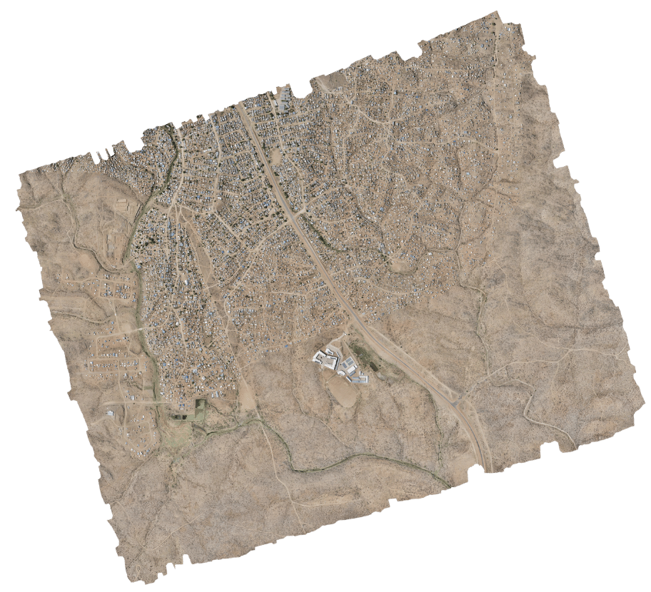
Within the scope of the ISUD II, GIZ collaborated with Flying Labs Namibia to map the Brendan Simbwaye A Informal Settlement, in Windhoek; one of the the selected settlements for the project area. Leveraging drone technology, Flying Labs Namibia captured high-resolution aerial imagery to generate an orthomosaic and contour lines of the area. The utilisation of drones has emerged as a pivotal asset, offering unparalleled capabilities in capturing comprehensive information essential for sustainable development and planning. This capability empowers decision-makers to make informed choices in addressing development and informal settlement challenges. The efficiency of drone technology is evident in the swift mapping of the 540 hectare area within just 5 hours, showcasing promising prospects for its future utilisation.
In processing the data collected, PIX4Dmatic proved indispensable; its user-friendly interface facilitated a seamless photogrammetric process from data import to final output generation. Despite handling large datasets, the software maintained stability without encountering glitches or crashes. While it is worth noting the system requirements inherent in photogrammetric software, we successfully navigated these requisites to create and export the orthomosaic and Digital Terrain Model (DTM) of the Brendan Simbwaye A Settlement.
An essential aspect of projects involving drone technology is addressing concerns related to privacy, safety, and noise pollution. To this end, proactive community engagement was conducted in collaboration with the City of Windhoek Municipality. This involved transparent communication with community leaders and relevant authorities; outlining project activities and emergency protocols. The unwavering support and collaboration from GIZ, the City of Windhoek, and all stakeholders, including the community, have been instrumental in the project's success. We are immensely grateful for their contributions and look forward to continuing our collaborative efforts to positively impact urban development in Namibia.
Together, we are poised to achieve remarkable strides toward the betterment of our society.
 Brendan Simbwaye A Informal Settlement, orthomosaic
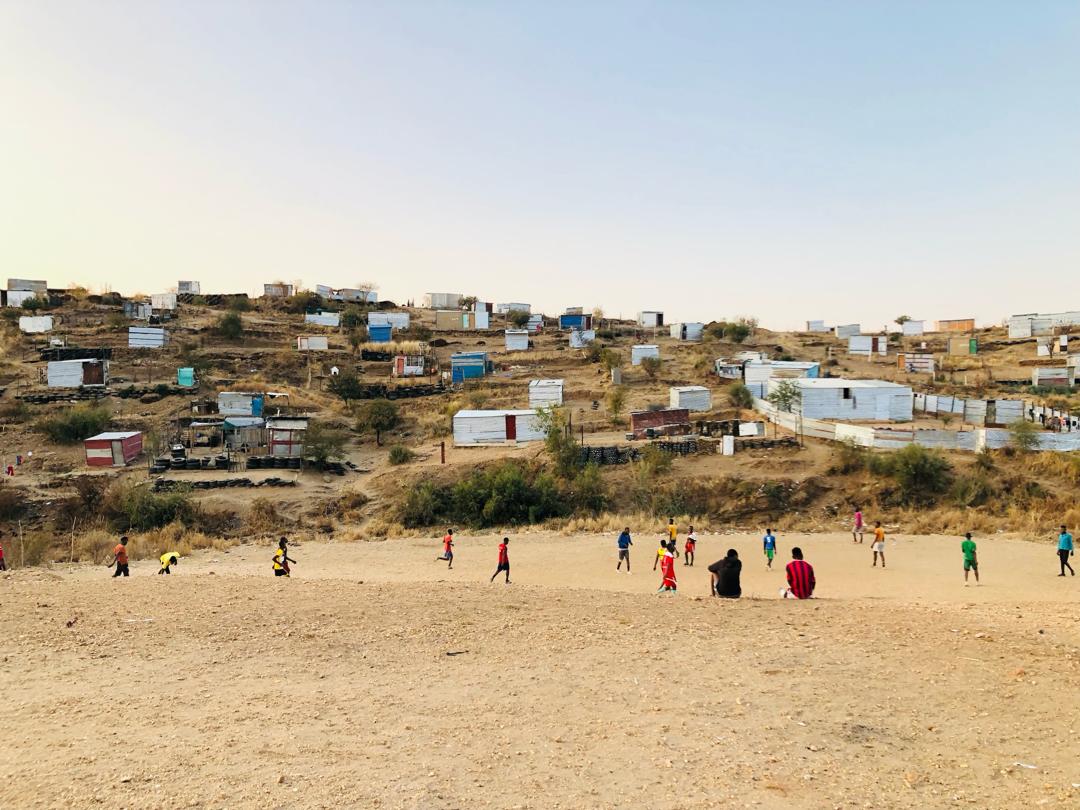
 Brendan Simbwaye A Informal Settlement, Windhoek, Namibia
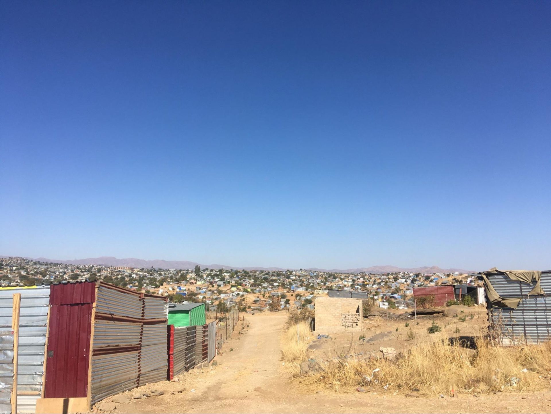
 Brendan Simbwaye A Informal Settlement, Windhoek, Namibia
Category(s)
Recent Articles
View All »

Team Cameroon's Road to Victory at the First Global Robotics Competition 2025
