
How Tanzanian Drone Pilots Are Helping Reduce Deforestation
Tanzania Flying Labs is keen to continue exploring new ways in which drone data can answer many questions and training others along the way.
July 18th, 2018
Co-Authored by Ghati Marwa, Yussuf Said Yussuf and Leka Tingitana from Tanzania Flying Labs
Tanzania Flying Labs just facilitated a hands-on drone training course for new partners, Community Forests Pemba (CFP), on Pemba Island in Tanzania last week. CFP is working directly with communities to regenerate deforested areas through tree planting. In addition, CFP is also working to reduce deforestation rates (ideally reverse them) through the introduction of woodlots, sustainable farming practices, and fuel efficient cook stoves. Building the capacity of communities to sustainably manage their forests—and indeed all their natural resources—will help improve incomes and reduce poverty throughout Africa.
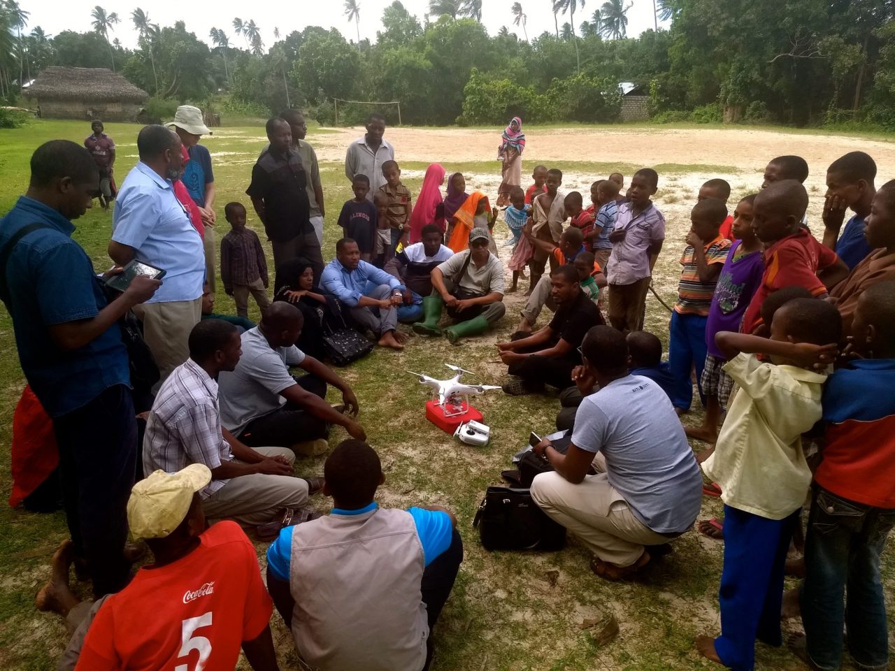
At Tanzania Flying Labs, we are always keen to support other local Tanzanian organizations with practical advice on using robotics for their own activities. This training course was a first for CFP. The main objective of our five-day training was to co-develop a customized drone program for CFP to directly support their afforestation and reforestation efforts. The training focused on three major areas: 1) Understanding drone technology and how one needs to operate responsibly; 2) Understanding how to create an information pattern from the drone data; and 3) Mapping Areas of Interest (AOI) where afforestation is taking place.
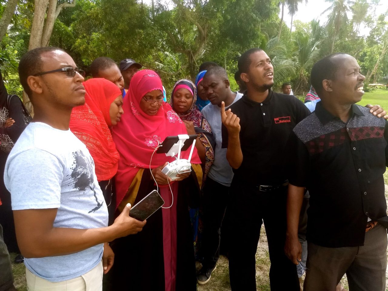
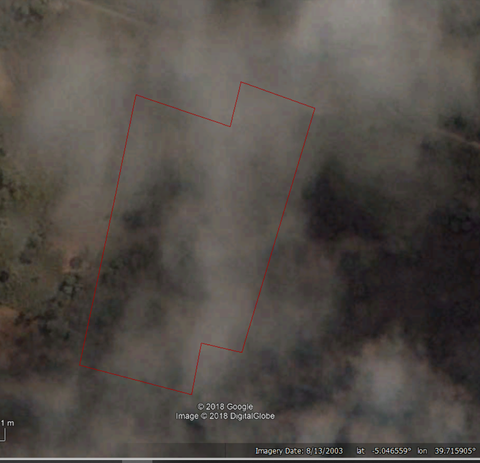
Beneficiaries of CFP’s programs have what are called "Community Forest Management Agreements" according to CFP Co-Founder J. Michael Tritchler. They plan to use drones to identify forest boundaries, total areas of coverage, percent of canopy cover within the sites, and if possible, a distribution of species types. It is not easy to monitor all the forests areas by walking and observing the vegetation over time on records, and it is even harder to show the community the good work they are doing so that they can put more effort on preserving their forest. Often, the Island is covered with clouds making it difficult to rely on satellite imagery (as evidenced below).
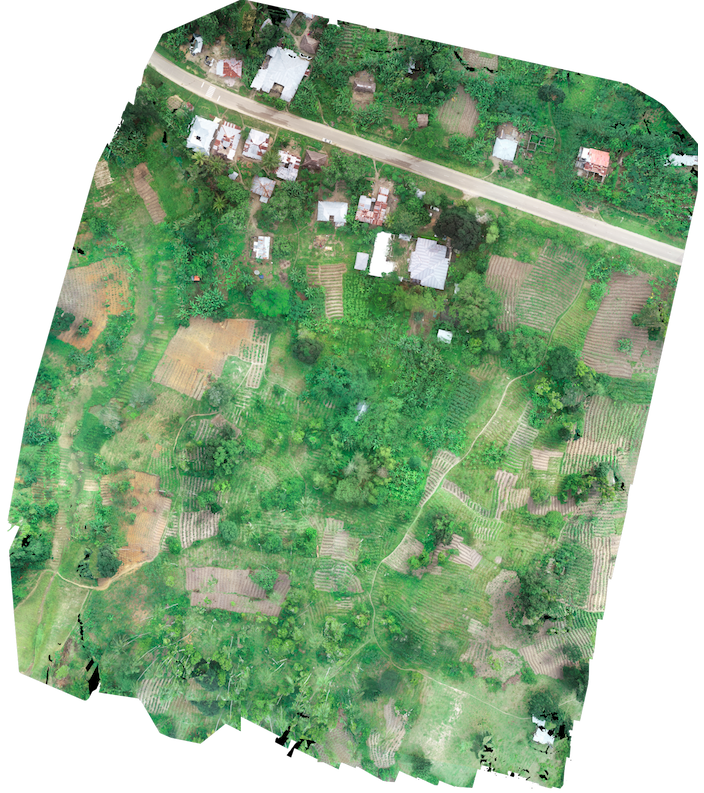
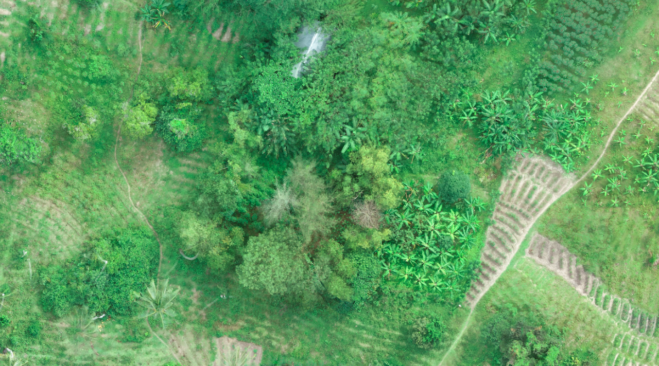
The pedagogical method for drone training consisted of both theory and hands-on practice. Teaching (theory) sessions took place within the CFP office and drone flights at three different locations. Each participant flew the drone manually, which was the most interesting part for everyone because they had a visceral experience of what it is like to be in full control. Afterwards, participants also learned how to create their own flight plans at two different AOI's, fly their missions, and, importantly, identify different features within the created 2D orthomosaic maps. We intend to trial such techniques to detect small-scale illegal logging in forests in the future.
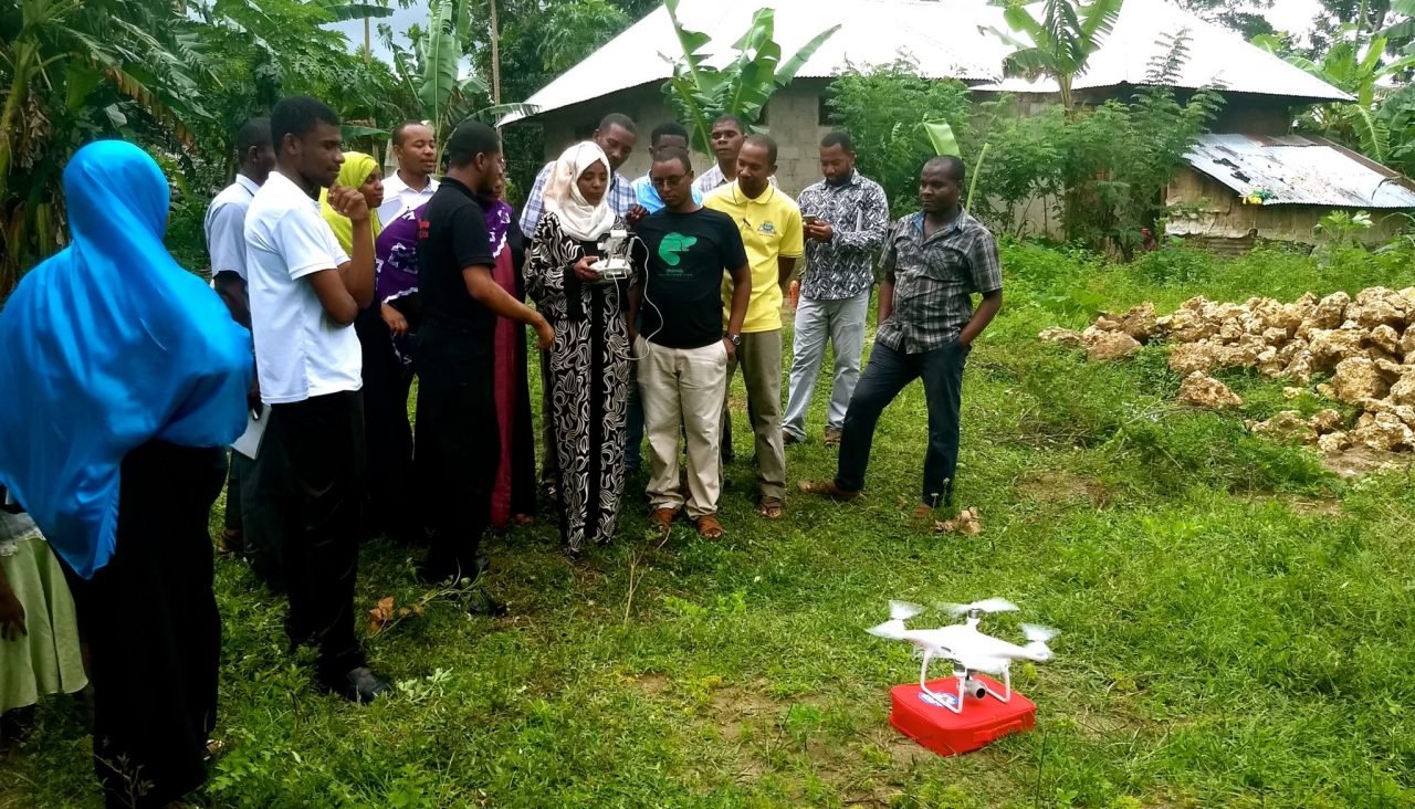
We had the opportunity to train our CFP partners on a quadcopter drone, which is a suitable aerial drone for work in Pemba because of the terrain and spaces constraints for take-off and landing. We are happy that all participants (CFP members, volunteers and other stakeholders) actively participated in the training and learned very quickly. This qualifies as a successful training for us. We are thus keen to continue exploring new ways in which drone data can answer the many questions that our partners have, and to find new solutions across our dedicated sector-based programs while training other organizations along the way. So please get in touch at any time! We are an entirely Tanzanian-led group of accomplished drone pilots, GIS analysts and program managers. As such, we already have the skills, drone technologies and software solutions here in Tanzania.
Category(s)
Recent Articles
View All »

Wildfire Assessment and Web Application in Sao Paulo
