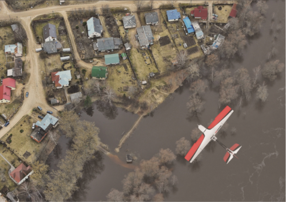
Flying Robots Survey Flood Damage in Peru
The information obtained by the drones are helping Search and Rescue operations, assessing damage, and identifying stranded communities.
April 18th, 2017
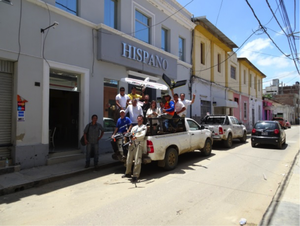
Our Peru Flying Labs team together with many other partners rapidly mobilized as Mision PIURA in the wake of the devastating floods that are still affecting large parts of the country. Mision PIURA is a volunteer-driven initiative spearheaded by a consortium of organizations that was activated to provide immediate information on the flood-affected areas in Northern Peru between March and April 2017. The following information, including photos & video, is kindly provided by our Peru Flying Labs Coordinator, Juan Bergelund.

The consortium consists of our WeRobotics Peru Flying Labs team, SPACEDAT, UAV del Perú, PeruLand, Instituto Geográfico Nacional, SARPERU, Planandes, Robotic Air Systems, IntelligentDrone, Segurimax, RAS and JE WJ Ingenieros y DronePerú. This big team effort gained international recognition after the rapid deployment and timely provision of high-resolution aerial images of more than 7,000 hectares (approximately 70 square kilometers) in just 3 days covering affected areas including Piura, Catacaos, Cura Mori, Chato Largo Y Chato Chico, San Pedro, Narihualá, and Ramos. The consortium used 9 drones, both fixed-wing and multi-rotor aircraft, and their pilots are certified by the DGCA.

The information obtained by the drones are helping Search and Rescue (SaR) operations and providing orthorectified maps with 5cm spatial resolution that are being used to assess infrastructure damage and to identify stranded communities, safe areas for resettlement, and road access to determine most effective delivery routes for the provision of humanitarian aid. The Peruvian Emergency Coordination Center (COEN) and various government ministries need to have independent and detailed up-to-date information, and have thus taken a strong interest in Mision PIURA. The information generated by the consortium provides these institutions and national and international agencies with the situational awareness they need to channel their efforts based on reliable empirical data.
https://youtu.be/XTLCoeEVmVI
This technology will also allow the COEN to monitor changes in the water levels in the affected areas using the high resolution Digital Elevation Models (DEMs) that have been generated. We already know the scope of the disaster and have the tools to rapidly monitor the disaster with high-frequency UAV flights, thus creating invaluable information for responders so that they can make the most accurate and up to date decisions as they continue to manage the emergency. UAVs will also continue to play an invaluable role in the post emergency phase and become a key instrument in the planning and reconstruction phases.
The mission of PIURA is a clear example of how dynamism and independent capacity for immediate action can complement the efforts of the government and international agencies.
Category(s)
Location(s)
Recent Articles
View All »

Fixed-Wing, Rotary-Wing, and VTOL Drone Training with Japan Flying Labs
